Transport Functions
Multimodal
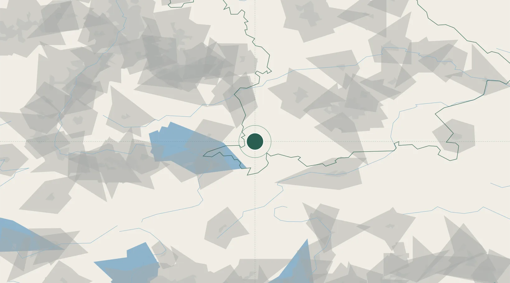
Hub Profile
Place type
Populated place
Region
Bavaria
Time zone
Europe/Berlin
Elevation
809 m
Location
Nearby Logistics Neighbours
Cities
- 1Lauben im Oberallgäu6 km
- 2Dietmannsried8 km
- 3Betzigau9 km
- 4Haldenwang10 km
- 5Sulzberg10 km
Ports
- 1Porto Di Lido-Venezia306 km
- 2Nogaro312 km
- 3Porto Di Chioggia319 km
- 4Grado324 km
- 5Monfalcone331 km
Airports
Trade Zones
- 1Livigno Free Trade Zone134 km
- 2ZFU Neuhof206 km
- 3ZFU Hautepierre214 km
- 4ZFU Mulhouse219 km
- 5Freeport of Deggendorf231 km
DatabookThe Record of Consolidated Knowledge
Germany beyond logistics?