UN/LOCODE hub · Germany
DEIMM

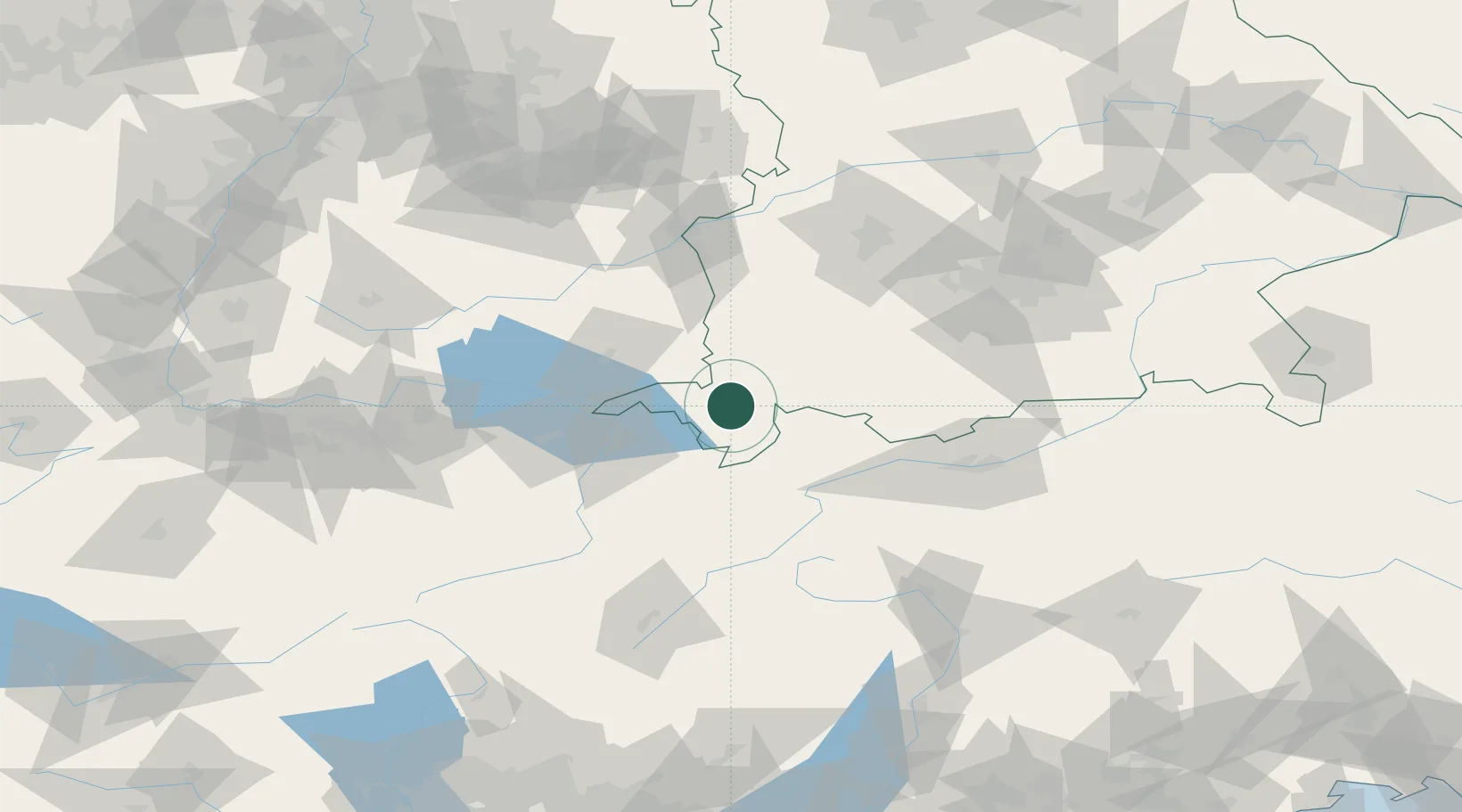
Immenstadt im Allgäu

47.5667°, 10.2167°
14,431
Population
2
Transport functions

Transport Functions

Rail
Road
UN/LOCODE

Hub Profile

Place type
Populated place
GeoNames
Region
Bavaria
GeoNames
Population
14,431
GeoNames
Time zone
Europe/Berlin
GeoNames
Elevation
733 m
GeoNames

Location

Location of DEIMM
Natural Earth 10m (public domain) · Bavaria · DEIMM · 47.57, 10.22GoogleOSMYandex

Nearby Logistics Neighbours

Cities
  1. 1Weitnau11 km
  2. 2Oberstaufen14 km
  3. 3Sulzberg15 km
  4. 4Ermengerst19 km
  5. 5Oberreute20 km
Nearest neighbours — logibook spatial index (haversine) over the source coordinates
Ports
  1. 1Porto Di Lido-Venezia293 km
  2. 2Nogaro302 km
  3. 3Porto Di Chioggia305 km
  4. 4Grado314 km
  5. 5Monfalcone322 km
Nearest neighbours — logibook spatial index (haversine) over the source coordinates
Airports
  1. 1Memmingen Allgau Airport47 km
  2. 2Sankt Gallen Altenrhein Airport50 km
  3. 3Bodensee Airport Friedrichshafen54 km
  4. 4Laupheim Air Base76 km
  5. 5Mengen-Hohentengen Airfield83 km
Nearest neighbours — logibook spatial index (haversine) over the source coordinates
Trade Zones
  1. 1Livigno Free Trade Zone115 km
  2. 2ZFU Neuhof212 km
  3. 3Magazzini Generali Con Chiasso215 km
  4. 4ZFU Mulhouse217 km
  5. 5ZFU Hautepierre220 km
Nearest neighbours — logibook spatial index (haversine) over the source coordinates
DatabookThe Record of Consolidated Knowledge
Germany beyond logistics?
Browse databook

All Sources

LocationsUN/LOCODE
UN/LOCODE — free
LocationsGeoNames
CC BY 4.0
Portsthe NGA World Port Index
Public domain (US gov)
AirportsOurAirports
Public domain
Trade Zonesthe World Bank SEZ database
CC BY 4.0
Trade ZonesOpen Zone Map
CC BY
← Germany locations