UN/LOCODE hub · Germany
DEWOE

Wörth am Rhein

49.0595°, 8.2988°
3
Transport functions

Transport Functions

Port
Rail
Road
UN/LOCODE

Hub Profile

Region
RP
GeoNames
Logistics facilities
1
UN/LOCODE

Location

Location of DEWOE
Natural Earth 10m (public domain) · RP · DEWOE · 49.06, 8.30GoogleOSMYandex

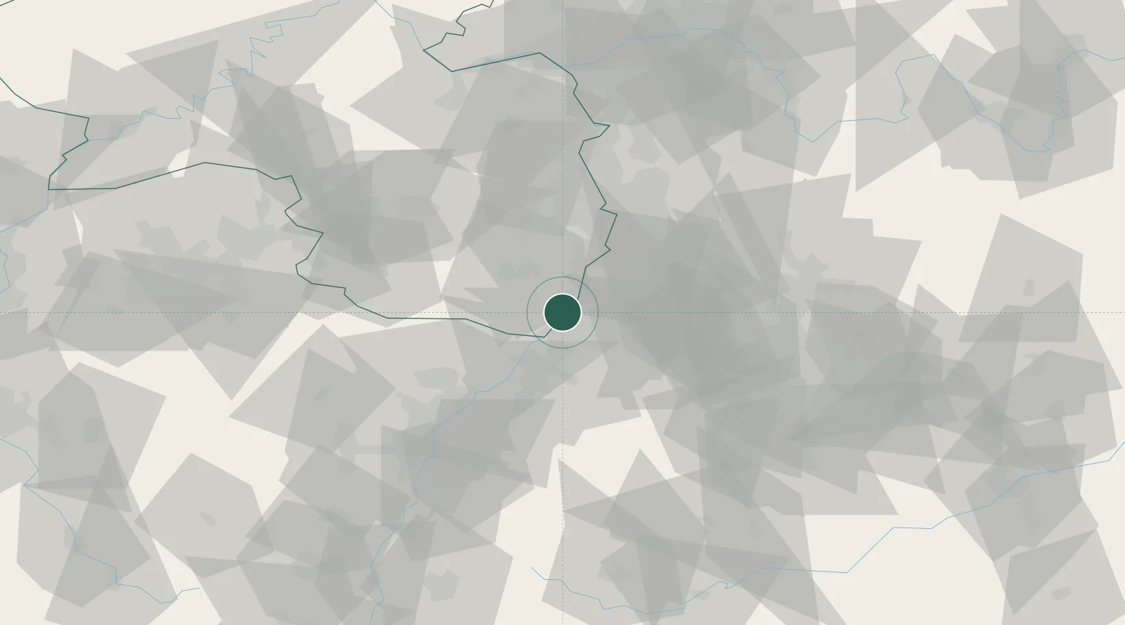
Nearby Logistics Neighbours

Cities
  1. 1Maximiliansau3 km
  2. 2Maxau3 km
  3. 3Jockgrim4 km
  4. 4Rheinzabern7 km
  5. 5Karlsruhe7 km
Nearest neighbours — logibook spatial index (haversine) over the source coordinates
Ports
  1. 1Bruxelles347 km
  2. 2Antwerpen367 km
  3. 3Dordrecht401 km
  4. 4Hansweert405 km
  5. 5Rotterdam415 km
Nearest neighbours — logibook spatial index (haversine) over the source coordinates
Airports
  1. 1Karlsruhe Baden-Baden Airport35 km
  2. 2Mannheim-City Airport49 km
  3. 3Ramstein Air Base66 km
  4. 4Strasbourg Airport76 km
  5. 5Stuttgart Airport79 km
Nearest neighbours — logibook spatial index (haversine) over the source coordinates
Trade Zones
  1. 1ZFU Hautepierre68 km
  2. 2ZFU Neuhof70 km
  3. 3ZFU La Cité Behren-lès-Forbach101 km
  4. 4ZFU Metz156 km
  5. 5ZFU Woippy-Metz157 km
Nearest neighbours — logibook spatial index (haversine) over the source coordinates
DatabookThe Record of Consolidated Knowledge
Germany beyond logistics?
Browse databook

All Sources

LocationsUN/LOCODE
UN/LOCODE — free
Portsthe NGA World Port Index
Public domain (US gov)
AirportsOurAirports
Public domain
Trade Zonesthe World Bank SEZ database
CC BY 4.0
Trade ZonesOpen Zone Map
CC BY
← Germany locations