Transport Functions
Multimodal
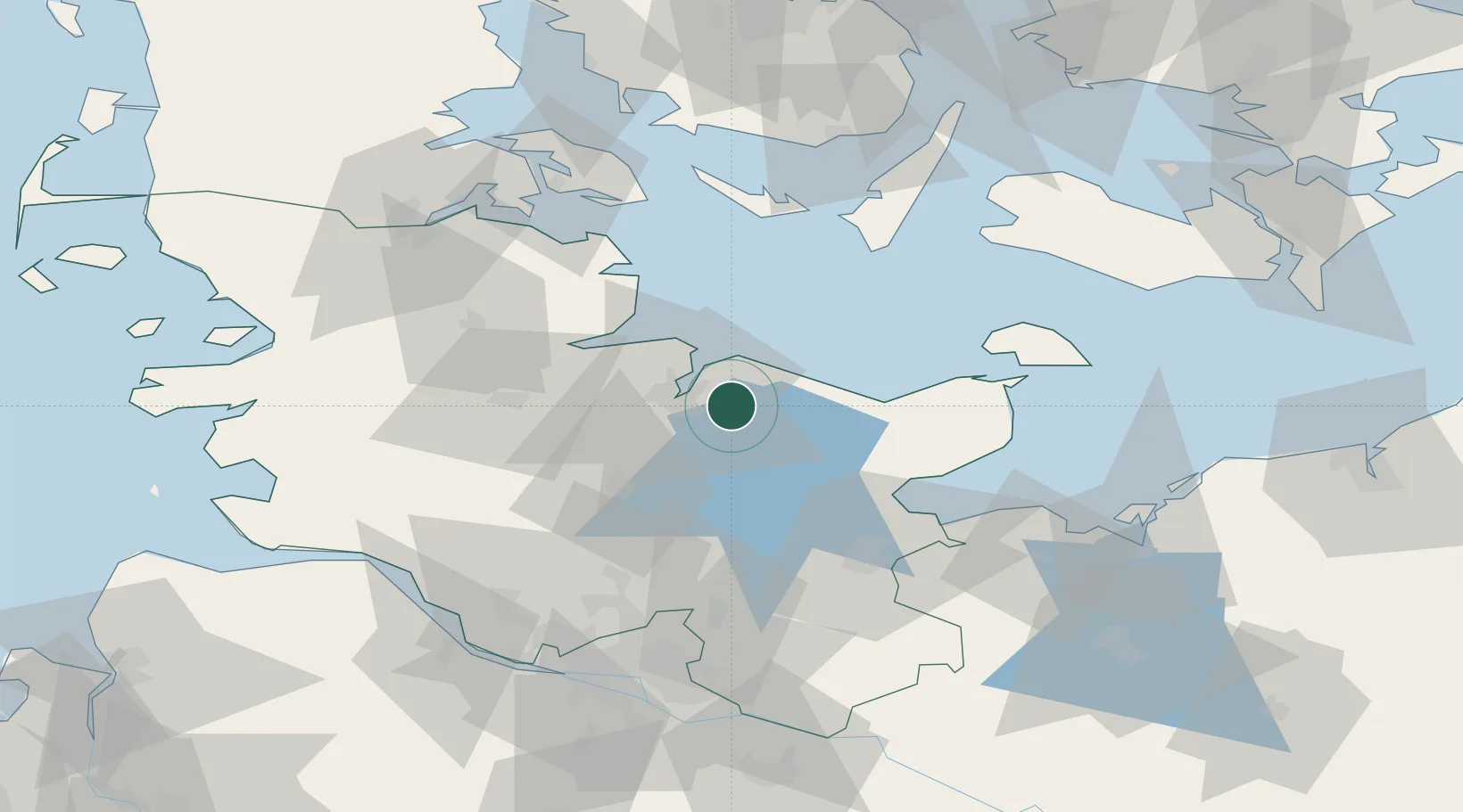
Hub Profile
Place type
Populated place
Region
Schleswig-Holstein
Time zone
Europe/Berlin
Elevation
53 m
Location
Nearby Logistics Neighbours
Cities
- 1Schönkirchen7 km
- 2Schwentinental7 km
- 3Ellerbek8 km
- 4Kiel11 km
- 5Kronshagen15 km
Ports
- 1Kiel11 km
- 2Eckernforde36 km
- 3Rendsburg40 km
- 4Neustadt40 km
- 5Heiligenhafen45 km
Airports
- 1Kiel-Holtenau Airport13 km
- 2Hohn Air Base49 km
- 3Schleswig Air Base54 km
- 4Lübeck Blankensee Airport61 km
- 5Ærø Airfield62 km
Trade Zones
DatabookThe Record of Consolidated Knowledge
Germany beyond logistics?