Transport Functions
Multimodal
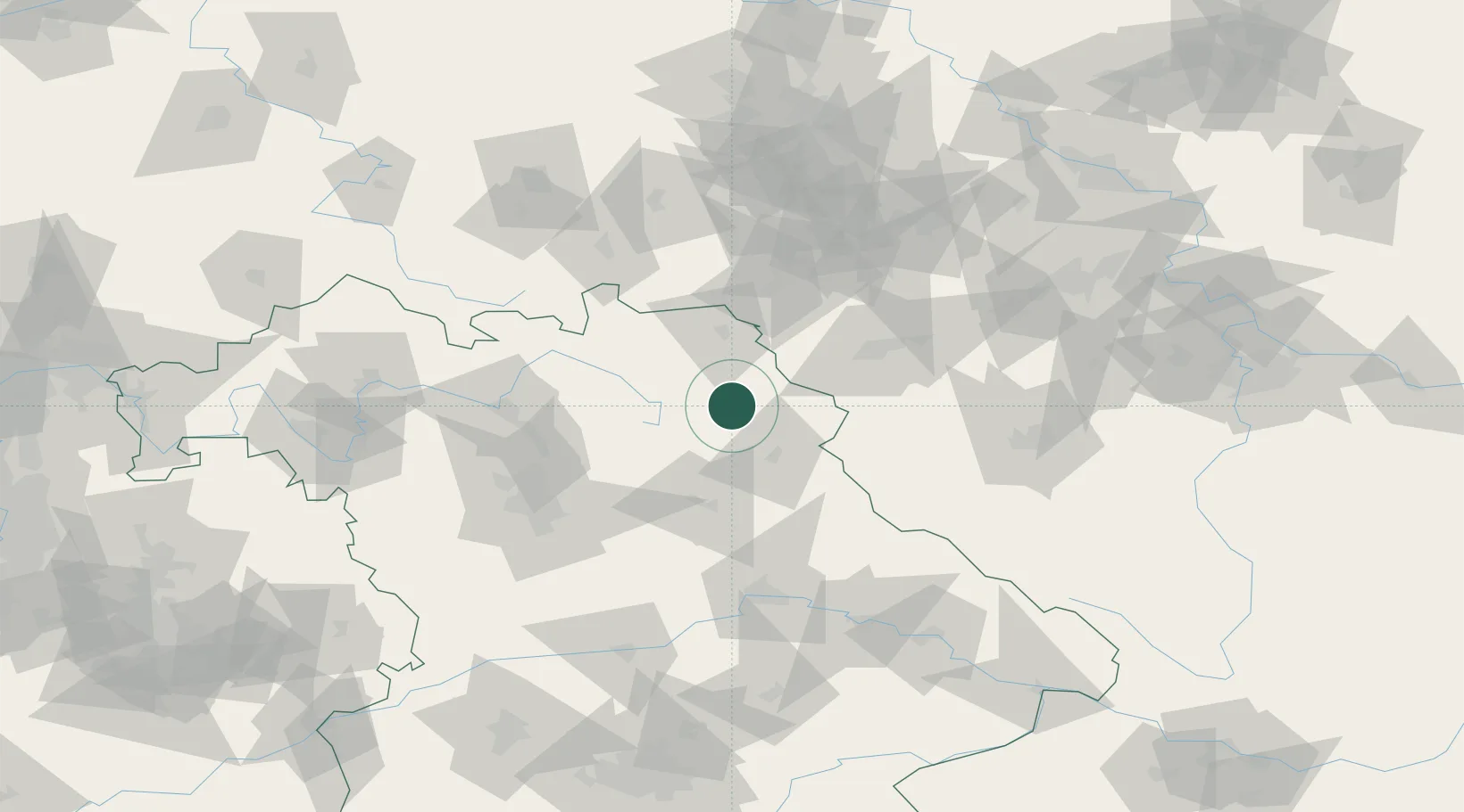
Hub Profile
Place type
Local administrative seat
Region
Bavaria
Population
2,061
Time zone
Europe/Berlin
Elevation
561 m
Location
Nearby Logistics Neighbours
Cities
- 1Pullenreuth2 km
- 2Warmensteinach14 km
- 3Pechbrunn15 km
- 4Wiesau16 km
- 5Röslau17 km
Airports
- 1Bayreuth Airport24 km
- 2Grafenwöhr Army Air Field26 km
- 3Hof-Plauen Airport40 km
- 4Karlovy Vary Airport74 km
- 5Bamberg-Breitenau Airfield75 km
Trade Zones
DatabookThe Record of Consolidated Knowledge
Germany beyond logistics?