Transport Functions
Multimodal
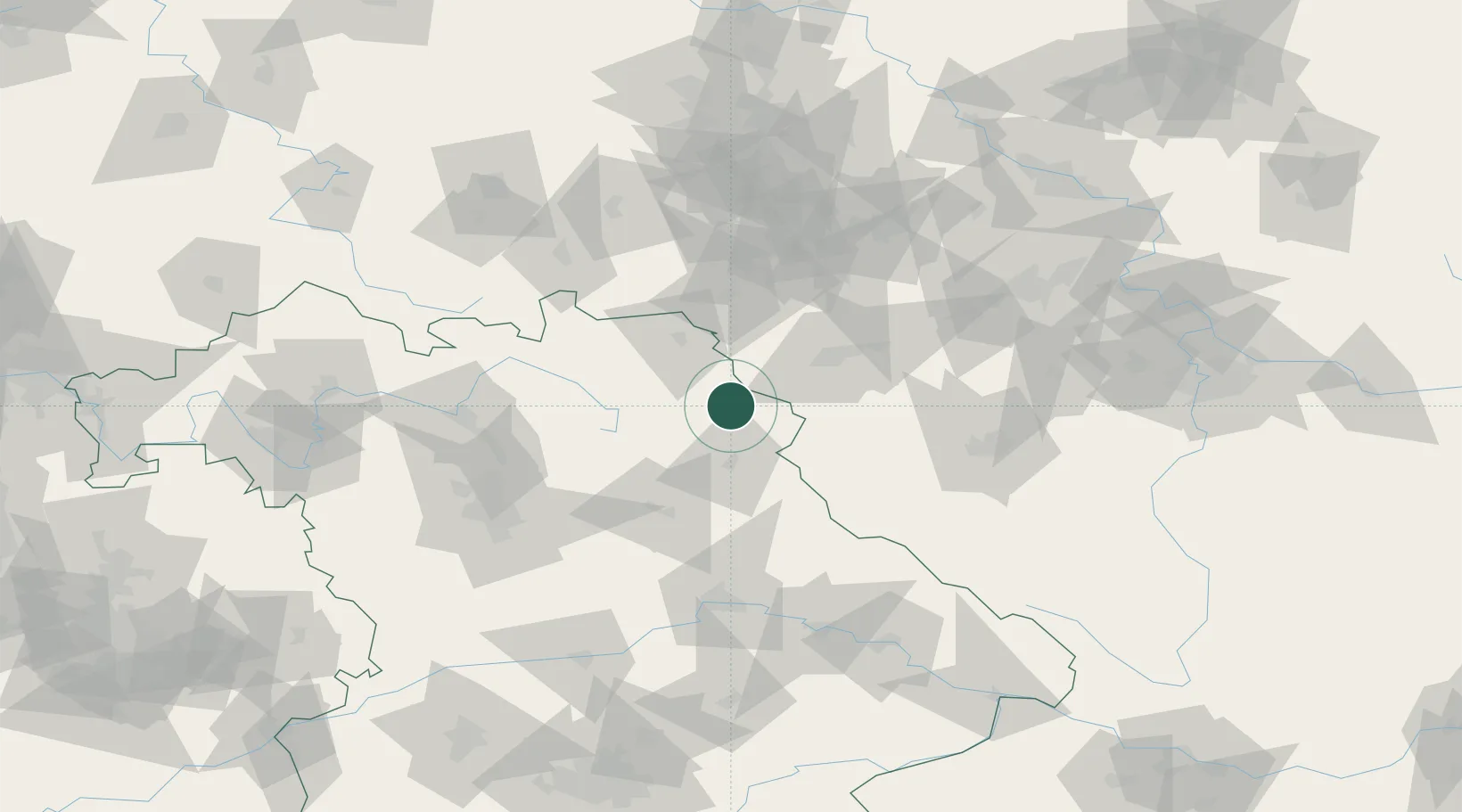
Hub Profile
Place type
Local administrative seat
Region
Bavaria
Population
1,493
Time zone
Europe/Berlin
Elevation
591 m
Location
Nearby Logistics Neighbours
Cities
- 1Wiesau7 km
- 2Leonberg9 km
- 3Röthenbach9 km
- 4Arzberg11 km
- 5Pullenreuth13 km
Airports
- 1Grafenwöhr Army Air Field34 km
- 2Bayreuth Airport38 km
- 3Hof-Plauen Airport42 km
- 4Karlovy Vary Airport60 km
- 5Plzeň-Líně Airport86 km
Trade Zones
DatabookThe Record of Consolidated Knowledge
Germany beyond logistics?