Transport Functions
Rail
Road
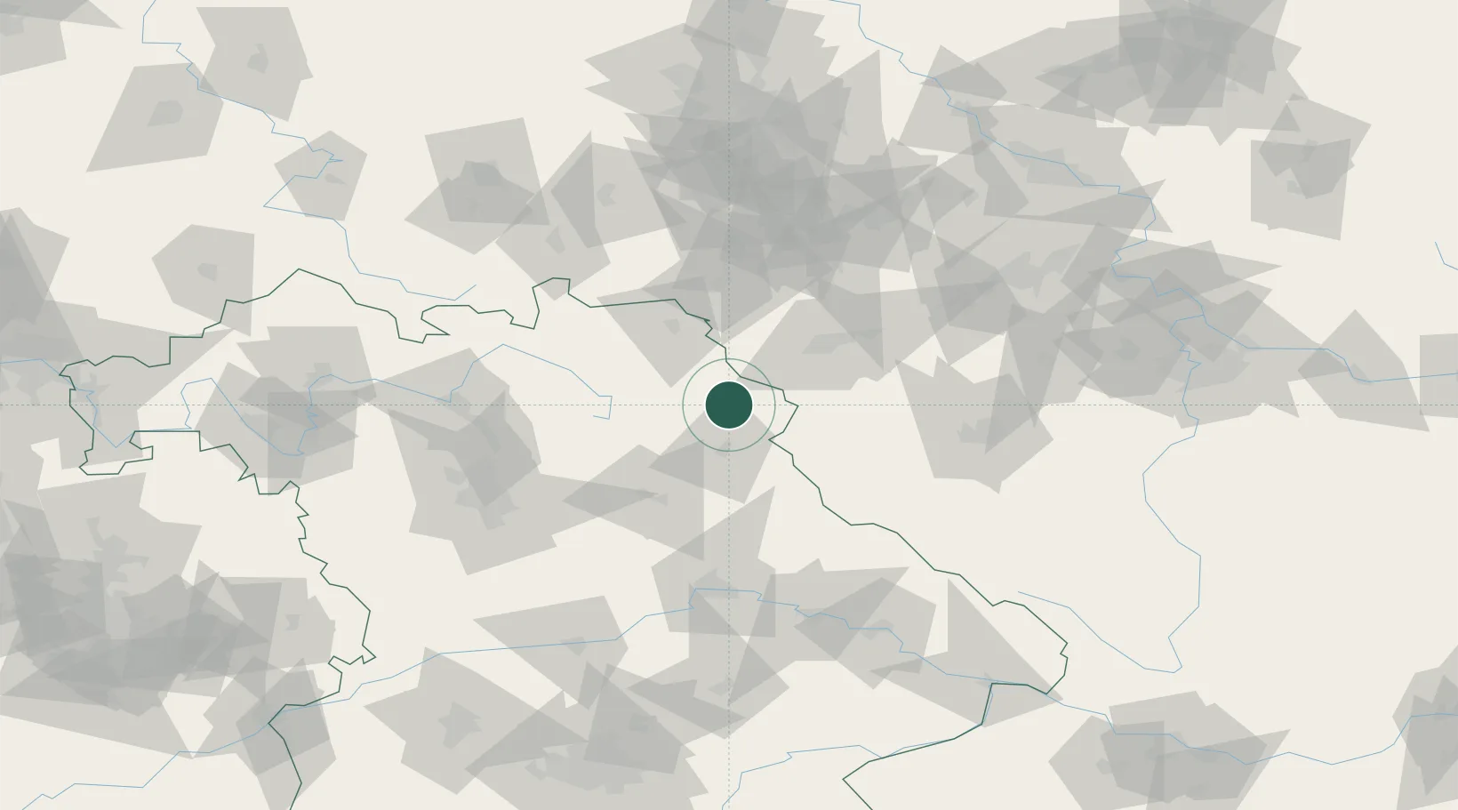
Hub Profile
Place type
Populated place
Region
Bavaria
Population
4,550
Time zone
Europe/Berlin
Elevation
509 m
Logistics facilities
2
Location
Nearby Logistics Neighbours
Cities
- 1Pechbrunn7 km
- 2Leonberg8 km
- 3Pullenreuth14 km
- 4Röthenbach16 km
- 5Neusorg16 km
Airports
- 1Grafenwöhr Army Air Field30 km
- 2Bayreuth Airport40 km
- 3Hof-Plauen Airport49 km
- 4Karlovy Vary Airport61 km
- 5Hohenfels Army Airfield81 km
Trade Zones
DatabookThe Record of Consolidated Knowledge
Germany beyond logistics?