Transport Functions
Rail
Road
Hub Profile
Place type
Local administrative seat
Region
Bavaria
Population
1,902
Time zone
Europe/Berlin
Elevation
544 m
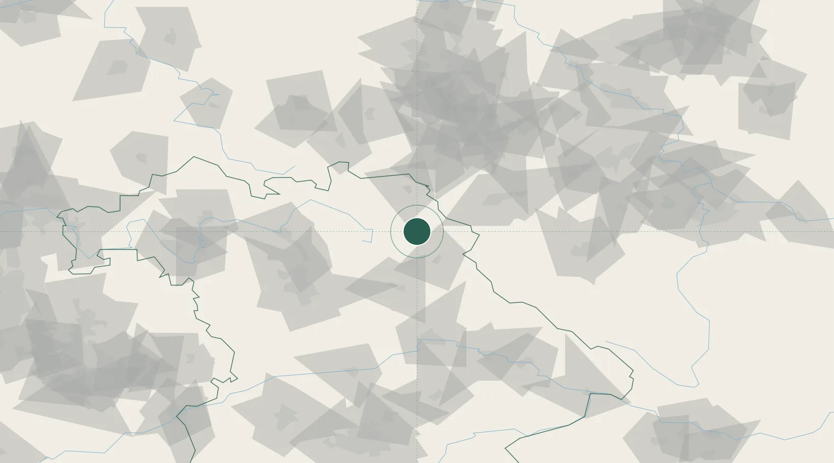
Location
Nearby Logistics Neighbours
Cities
- 1Neusorg2 km
- 2Pechbrunn13 km
- 3Wiesau14 km
- 4Warmensteinach17 km
- 5Röslau17 km
Airports
- 1Bayreuth Airport26 km
- 2Grafenwöhr Army Air Field26 km
- 3Hof-Plauen Airport41 km
- 4Karlovy Vary Airport72 km
- 5Bamberg-Breitenau Airfield78 km
Trade Zones
DatabookThe Record of Consolidated Knowledge
Germany beyond logistics?