UN/LOCODE hub · Germany
DEA5H

Algertshausen

48.4667°, 11.1167°
2
Transport functions

Transport Functions

Road
Multimodal
UN/LOCODE

Hub Profile

Place type
Populated place
GeoNames
Region
Bavaria
GeoNames
Time zone
Europe/Berlin
GeoNames
Elevation
456 m
GeoNames

Location

Location of DEA5H
Natural Earth 10m (public domain) · Bavaria · DEA5H · 48.47, 11.12GoogleOSMYandex

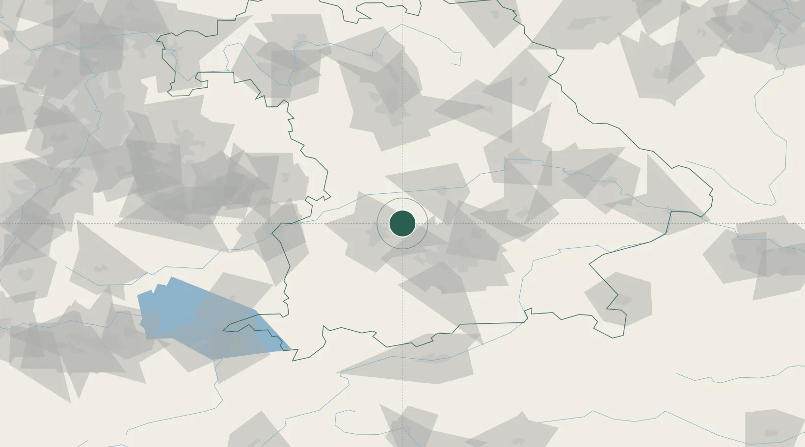
Nearby Logistics Neighbours

Cities
  1. 1Hollenbach4 km
  2. 2Inchenhofen6 km
  3. 3Unterbernbach8 km
  4. 4Affing10 km
  5. 5Pöttmes13 km
Nearest neighbours — logibook spatial index (haversine) over the source coordinates
Ports
  1. 1Nogaro339 km
  2. 2Grado349 km
  3. 3Monfalcone351 km
  4. 4Porto Di Lido-Venezia354 km
  5. 5Porto Di Chioggia371 km
Nearest neighbours — logibook spatial index (haversine) over the source coordinates
Airports
  1. 1Augsburg Airport14 km
  2. 2Altstetten Ultralight Field22 km
  3. 3Neuburg Air Base28 km
  4. 4Lechfeld Air Base37 km
  5. 5Ingolstadt Manching Airport41 km
Nearest neighbours — logibook spatial index (haversine) over the source coordinates
Trade Zones
  1. 1Freeport of Deggendorf138 km
  2. 2Livigno Free Trade Zone228 km
  3. 3ZFU Neuhof247 km
  4. 4ZFU Hautepierre253 km
  5. 5Podbořany Industrial Zone257 km
Nearest neighbours — logibook spatial index (haversine) over the source coordinates
DatabookThe Record of Consolidated Knowledge
Germany beyond logistics?
Browse databook

All Sources

LocationsUN/LOCODE
UN/LOCODE — free
Portsthe NGA World Port Index
Public domain (US gov)
AirportsOurAirports
Public domain
Trade Zonesthe World Bank SEZ database
CC BY 4.0
Trade ZonesOpen Zone Map
CC BY
← Germany locations