Transport Functions
Multimodal
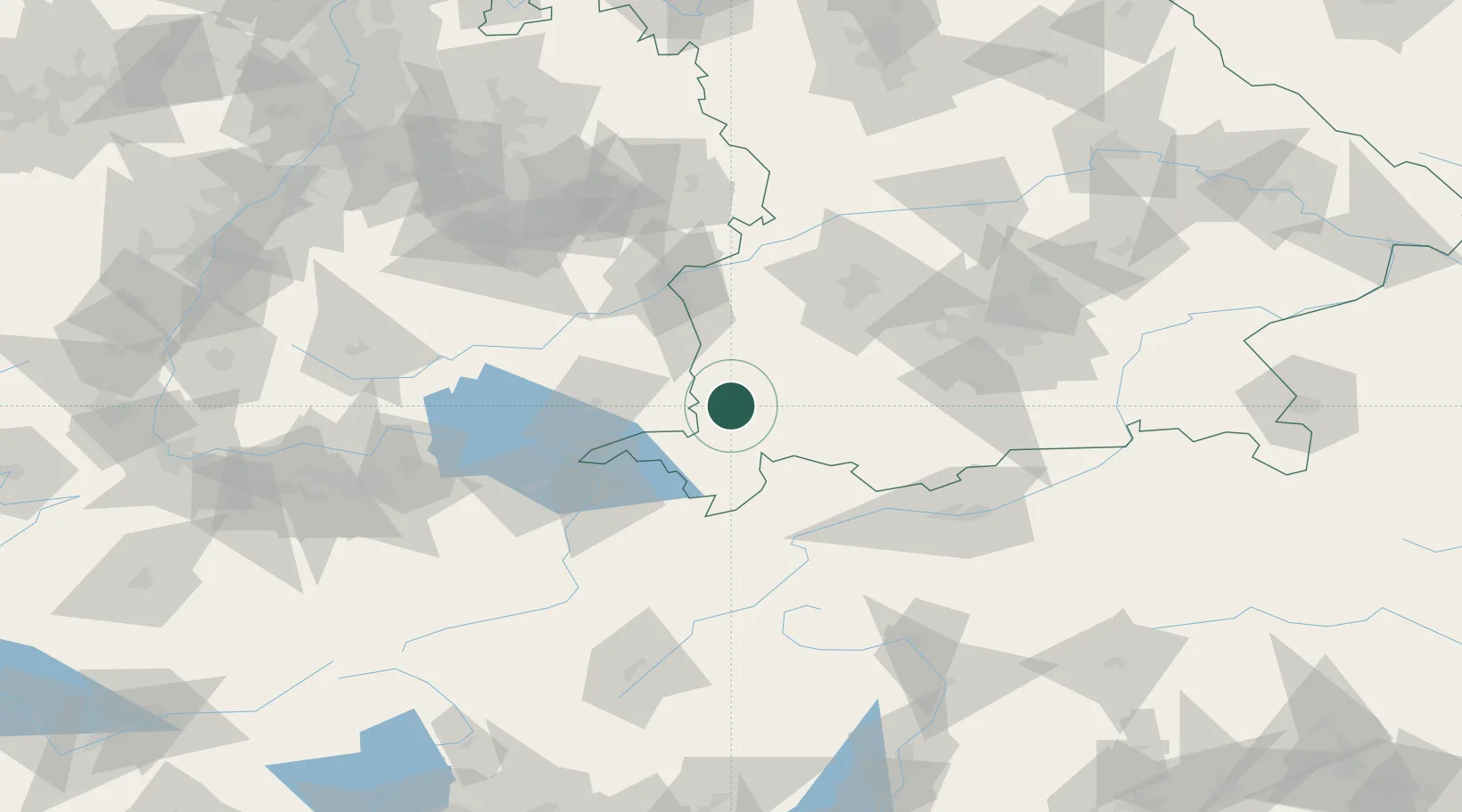
Hub Profile
Place type
Populated place
Region
Bavaria
Population
8,044
Time zone
Europe/Berlin
Elevation
680 m
Location
Nearby Logistics Neighbours
Cities
- 1Lauben im Oberallgäu2 km
- 2Haldenwang5 km
- 3Ermengerst8 km
- 4Wolfertschwenden9 km
- 5Betzigau11 km
Ports
- 1Porto Di Lido-Venezia312 km
- 2Nogaro316 km
- 3Porto Di Chioggia324 km
- 4Grado328 km
- 5Monfalcone335 km
Airports
Trade Zones
- 1Livigno Free Trade Zone142 km
- 2ZFU Neuhof204 km
- 3ZFU Hautepierre211 km
- 4ZFU Mulhouse220 km
- 5Freeport of Deggendorf226 km
DatabookThe Record of Consolidated Knowledge
Germany beyond logistics?