Transport Functions
Rail
Road
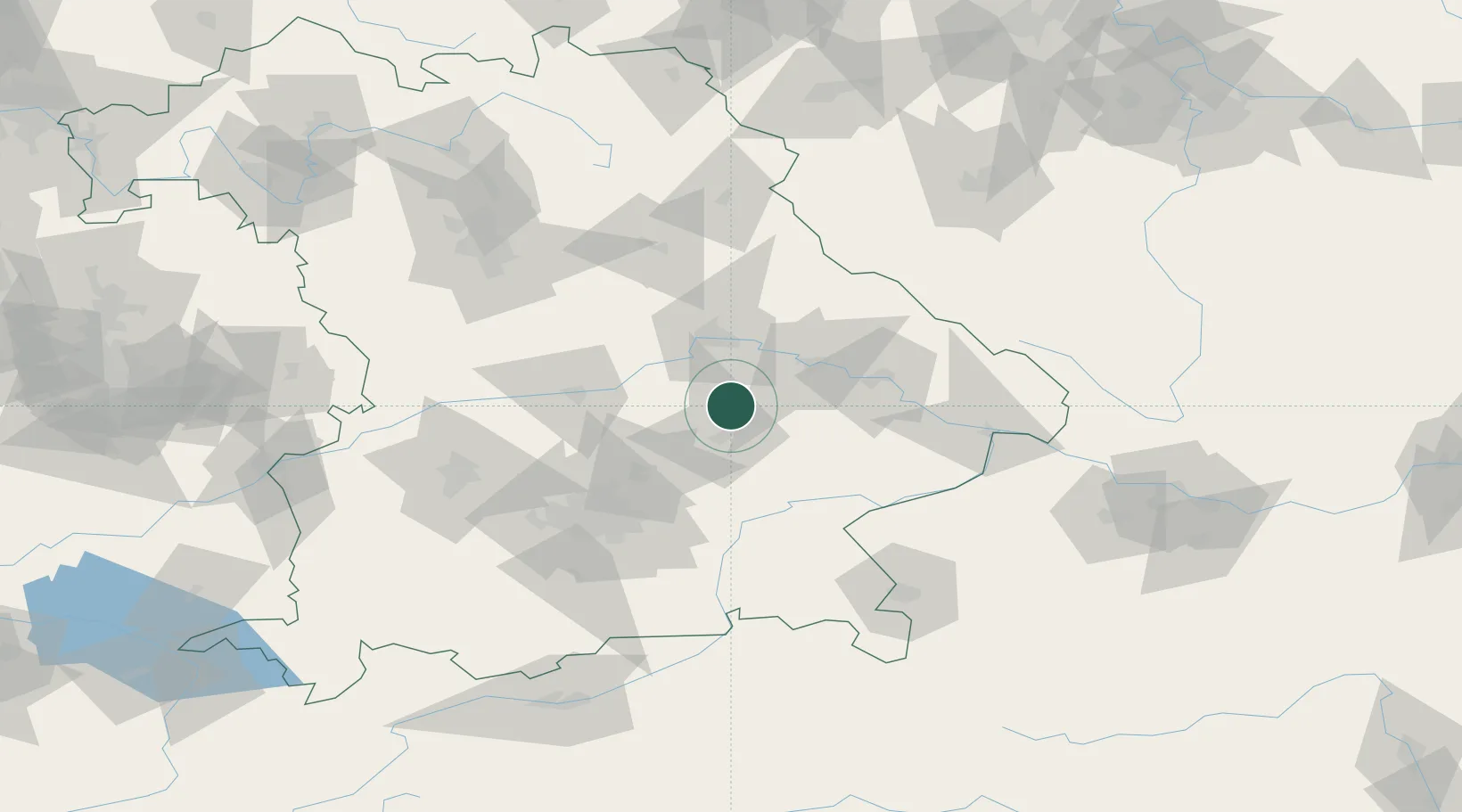
Hub Profile
Place type
Populated place
Region
Bavaria
Population
7,482
Time zone
Europe/Berlin
Elevation
420 m
Location
Nearby Logistics Neighbours
Cities
- 1Altdorf10 km
- 2Wörth an der Isar14 km
- 3Pullach17 km
- 4Blumberg18 km
- 5Loiching20 km
Ports
- 1Nogaro335 km
- 2Monfalcone340 km
- 3Grado344 km
- 4Trieste359 km
- 5Muggia365 km
Airports
- 1Landshut Airfield24 km
- 2Ingolstadt Manching Airport49 km
- 3Munich Airport49 km
- 4Hohenfels Army Airfield63 km
- 5Neuburg Air Base73 km
Trade Zones
DatabookThe Record of Consolidated Knowledge
Germany beyond logistics?