Transport Functions
Multimodal
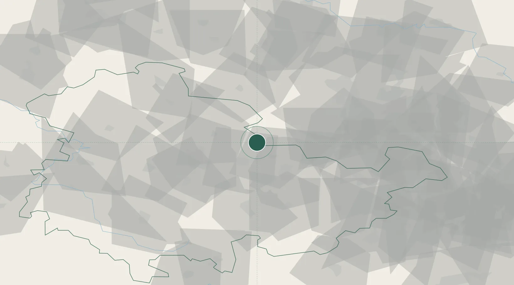
Hub Profile
Region
TH
Location
Nearby Logistics Neighbours
Cities
- 1Niederrossla10 km
- 2Wiehe17 km
- 3Frankendorf17 km
- 4Grossheringen18 km
- 5Wangen19 km
Airports
- 1Erfurt-Weimar Airport35 km
- 2Leipzig/Halle Airport66 km
- 3Eisenach-Kindel Airport67 km
- 4Leipzig–Altenburg Airport78 km
- 5Hof-Plauen Airport97 km
Trade Zones
- 1Žatec - Triangle Strategic Industrial Zone169 km
- 2Podbořany Industrial Zone171 km
- 3Most - Joseph Industrial Zone171 km
- 4Freeport of Deggendorf274 km
- 5Kostrzyń-Słubice SEZ276 km
DatabookThe Record of Consolidated Knowledge
Germany beyond logistics?