Transport Functions
Road
Multimodal
Hub Profile
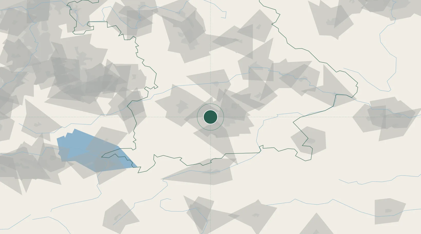
Place type
Local administrative seat
Region
Bavaria
Population
19,110
Time zone
Europe/Berlin
Elevation
507 m
Location
Nearby Logistics Neighbours
Cities
- 1Eichenau5 km
- 2Allach6 km
- 3Germering7 km
- 4Gräfelfing11 km
- 5Hebertshausen12 km
Ports
- 1Nogaro304 km
- 2Grado315 km
- 3Monfalcone316 km
- 4Porto Di Lido-Venezia320 km
- 5Trieste336 km
Airports
- 1Altstetten Ultralight Field13 km
- 2Oberpfaffenhofen Airport15 km
- 3Munich Airport35 km
- 4Lechfeld Air Base38 km
- 5Augsburg Airport41 km
Trade Zones
- 1Freeport of Deggendorf134 km
- 2Livigno Free Trade Zone209 km
- 3ZFU Neuhof269 km
- 4Podbořany Industrial Zone270 km
- 5ZFU Hautepierre275 km
DatabookThe Record of Consolidated Knowledge
Germany beyond logistics?