Transport Functions
Multimodal
Hub Profile
Place type
Populated place
Region
Bavaria
Time zone
Europe/Berlin
Elevation
467 m
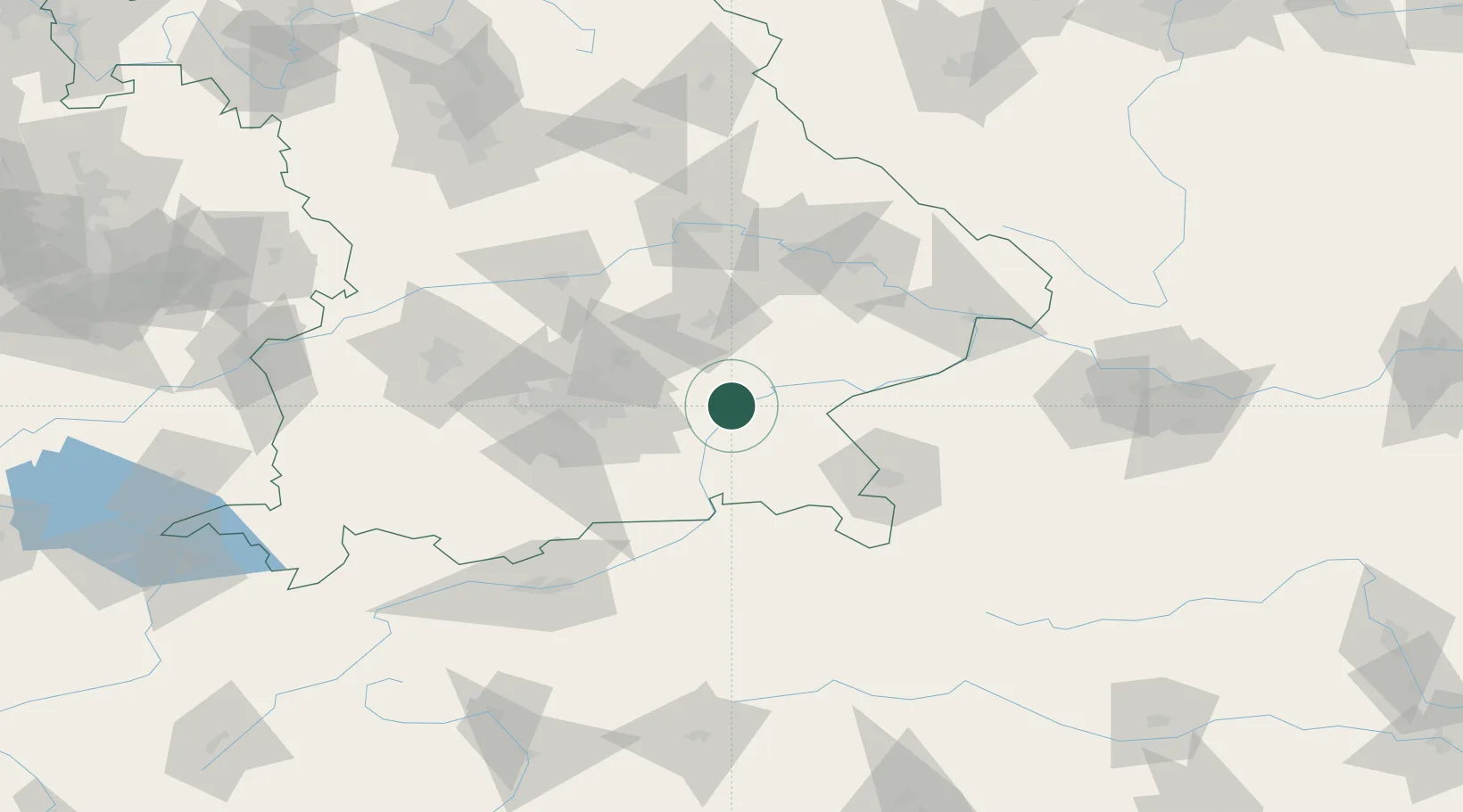
Location
Nearby Logistics Neighbours
Cities
- 1Kirchdorf bei Haag7 km
- 2Wasserburg am Inn10 km
- 3Bachmehring12 km
- 4Obertaufkirchen13 km
- 5Schwindegg13 km
Ports
- 1Nogaro274 km
- 2Monfalcone280 km
- 3Grado283 km
- 4Trieste299 km
- 5Porto Di Lido-Venezia304 km
Airports
- 1Munich Airport43 km
- 2Landshut Airfield44 km
- 3Salzburg Airport67 km
- 4Oberpfaffenhofen Airport75 km
- 5Altstetten Ultralight Field76 km
Trade Zones
DatabookThe Record of Consolidated Knowledge
Germany beyond logistics?