UN/LOCODE hub · Germany
DEWAS
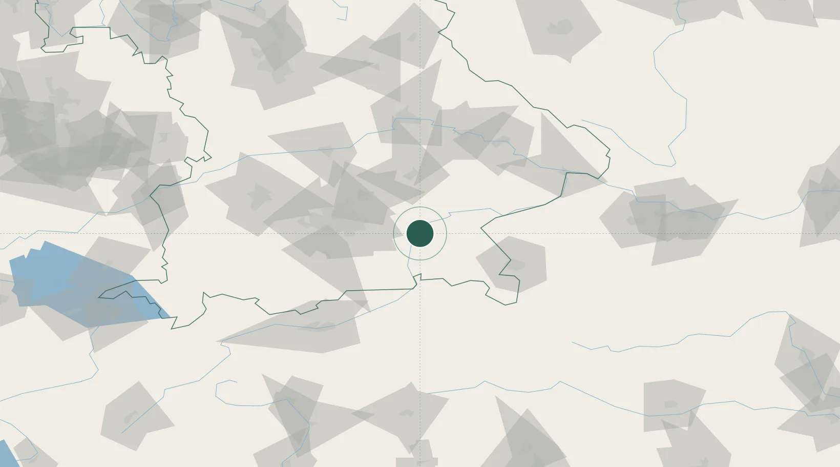
Wasserburg am Inn
48.0667°, 12.2333°
12,662
Population
2
Transport functions
Transport Functions
Rail
Road
Hub Profile
Place type
Populated place
Region
Bavaria
Population
12,662
Time zone
Europe/Berlin
Elevation
461 m
Location
Nearby Logistics Neighbours
Cities
- 1Bachmehring2 km
- 2Limburg5 km
- 3Edling5 km
- 4Amerang10 km
- 5Weingarten10 km
Ports
- 1Nogaro266 km
- 2Monfalcone273 km
- 3Grado276 km
- 4Trieste292 km
- 5Porto Di Lido-Venezia295 km
Airports
- 1Munich Airport46 km
- 2Landshut Airfield52 km
- 3Salzburg Airport65 km
- 4Oberpfaffenhofen Airport71 km
- 5Altstetten Ultralight Field75 km
Trade Zones
DatabookThe Record of Consolidated Knowledge
Germany beyond logistics?