Transport Functions
Multimodal
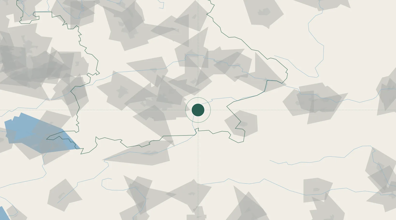
Hub Profile
Place type
Populated place
Region
Bavaria
Time zone
Europe/Berlin
Elevation
480 m
Location
Nearby Logistics Neighbours
Cities
- 1Wasserburg am Inn2 km
- 2Limburg4 km
- 3Edling5 km
- 4Amerang8 km
- 5Babensham11 km
Ports
- 1Nogaro264 km
- 2Monfalcone271 km
- 3Grado274 km
- 4Trieste291 km
- 5Porto Di Lido-Venezia293 km
Airports
- 1Munich Airport47 km
- 2Landshut Airfield53 km
- 3Salzburg Airport64 km
- 4Oberpfaffenhofen Airport71 km
- 5Altstetten Ultralight Field76 km
Trade Zones
DatabookThe Record of Consolidated Knowledge
Germany beyond logistics?