Transport Functions
Port
Rail
Road
Hub Profile
Place type
Populated place
Region
North Rhine-Westphalia
Time zone
Europe/Berlin
Elevation
254 m
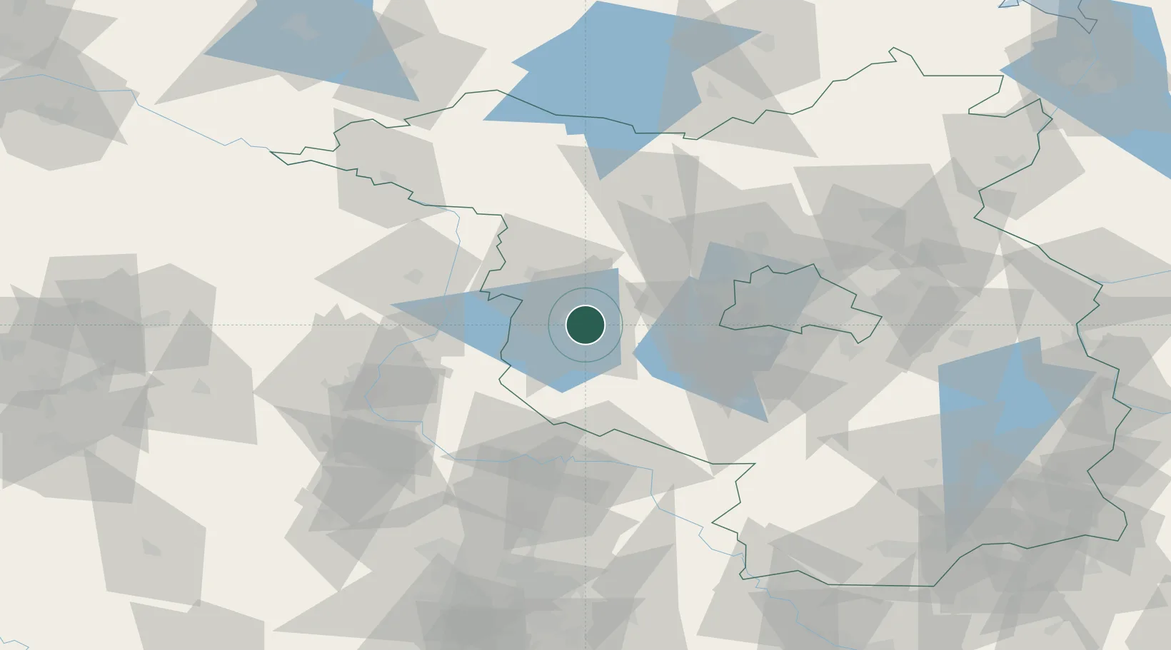
Location
Nearby Logistics Neighbours
Cities
- 1Havelsee9 km
- 2Kirchmöser11 km
- 3Wusterwitz11 km
- 4Nahmitz16 km
- 5Rogäsen16 km
Airports
- 1Zerbst Airfield54 km
- 2Berlin Brandenburg Airport65 km
- 3Holzdorf Air Base84 km
- 4Leipzig/Halle Airport113 km
- 5Braunschweig-Wolfsburg Airport136 km
Trade Zones
- 1Kostrzyń-Słubice SEZ143 km
- 2Szczecin Duty Free Zone176 km
- 3Swinoujscie Duty Free Zone201 km
- 4Most - Joseph Industrial Zone228 km
- 5Žatec - Triangle Strategic Industrial Zone235 km
DatabookThe Record of Consolidated Knowledge
Germany beyond logistics?