UN/LOCODE hub · Germany
DEWTA
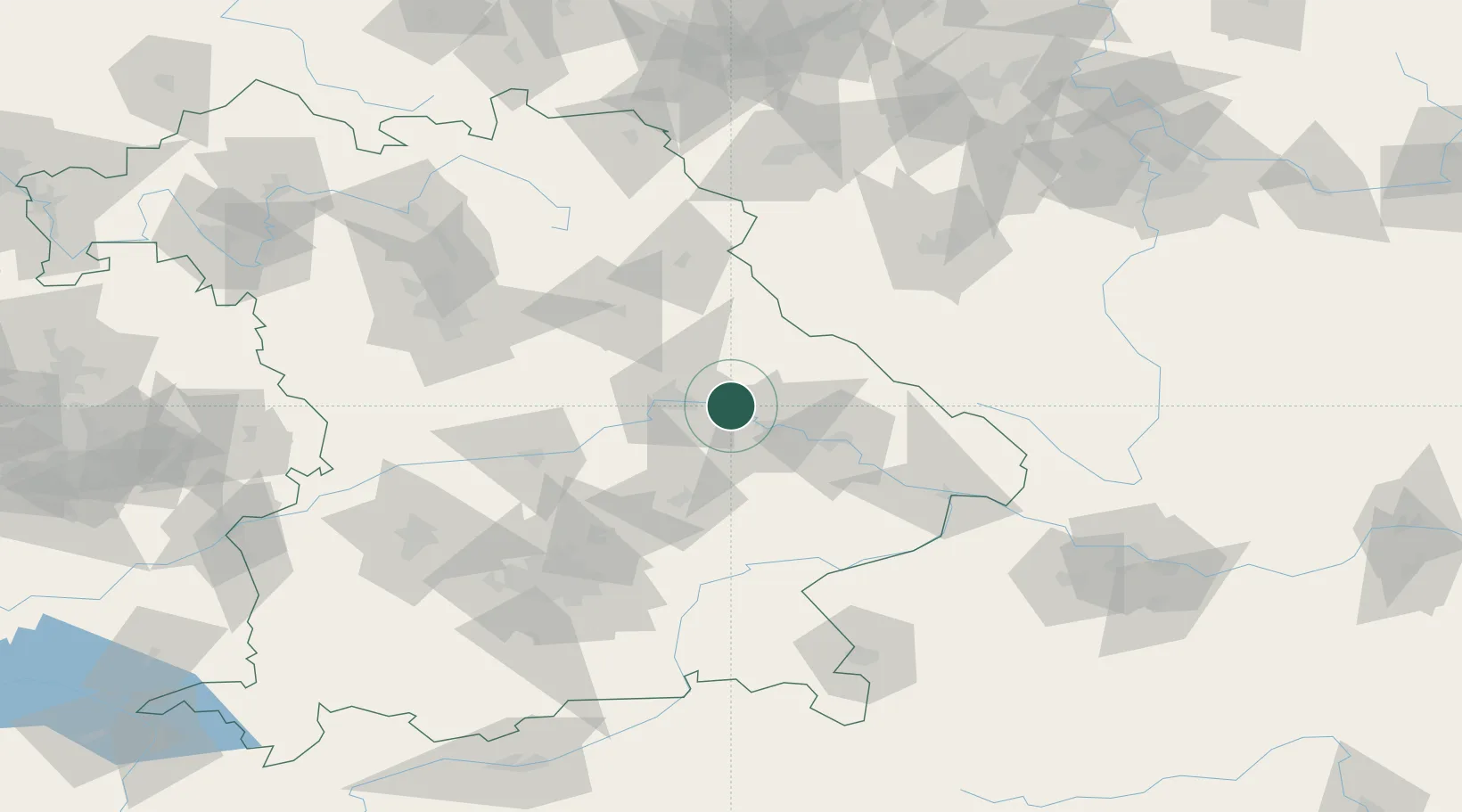
Wörth an der Donau
49.0000°, 12.4000°
4,524
Population
2
Transport functions
Transport Functions
Port
Road
Hub Profile
Place type
Populated place
Region
Bavaria
Population
4,524
Time zone
Europe/Berlin
Elevation
343 m
Location
Nearby Logistics Neighbours
Cities
- 1Kirchroth12 km
- 2Sünching14 km
- 3Barbing15 km
- 4Bernhardswald16 km
- 5Tegernheim16 km
Ports
- 1Nogaro365 km
- 2Monfalcone368 km
- 3Grado373 km
- 4Trieste386 km
- 5Muggia392 km
Airports
- 1Hohenfels Army Airfield48 km
- 2Landshut Airfield61 km
- 3Ingolstadt Manching Airport71 km
- 4Grafenwöhr Army Air Field85 km
- 5Munich Airport85 km
Trade Zones
DatabookThe Record of Consolidated Knowledge
Germany beyond logistics?