Transport Functions
Port
Rail
Road
Hub Profile
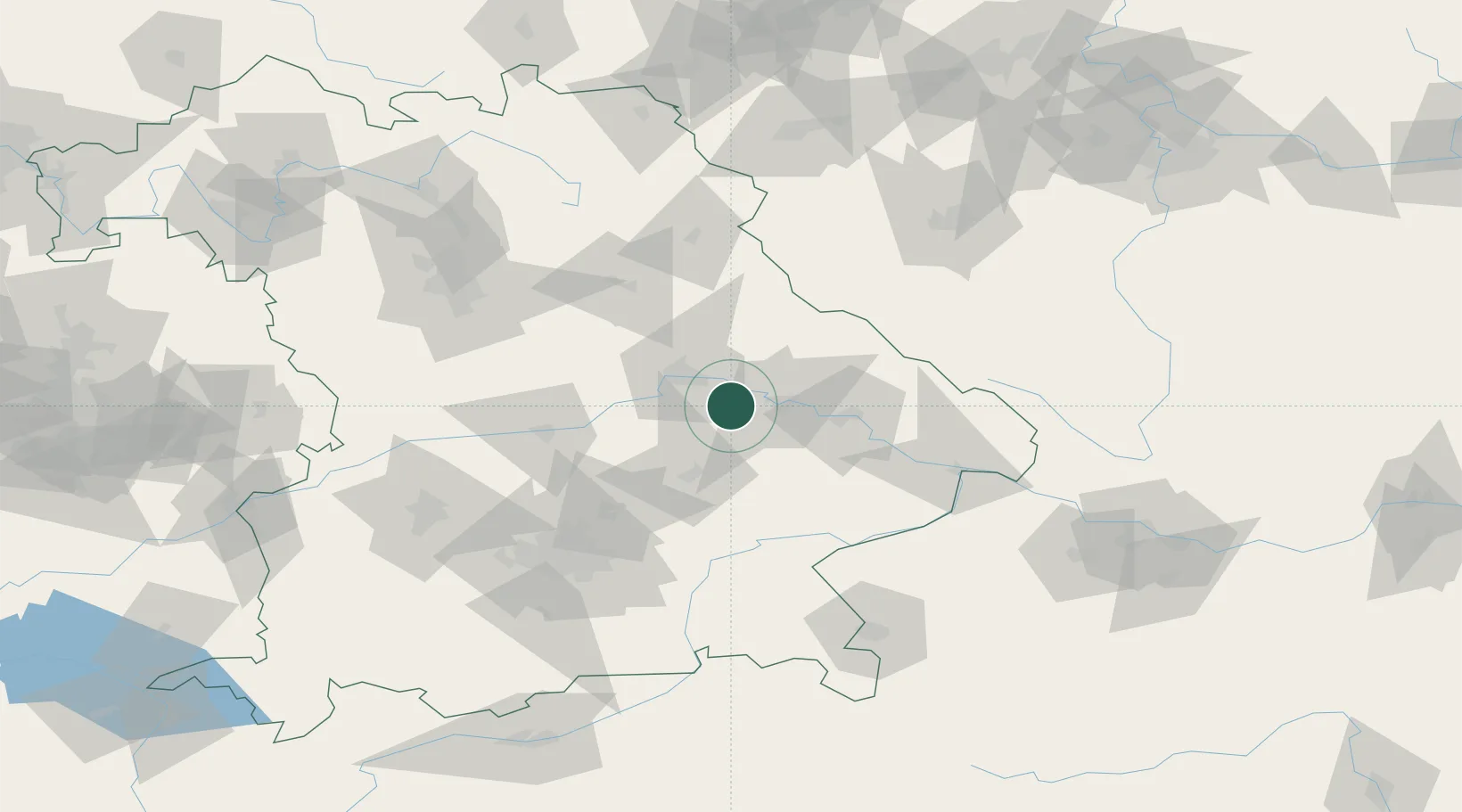
Place type
Local administrative seat
Region
Bavaria
Population
1,934
Time zone
Europe/Berlin
Elevation
341 m
Location
Nearby Logistics Neighbours
Cities
- 1Geiselhöring6 km
- 2Pullach7 km
- 3Hagelstadt10 km
- 4Wörth an der Donau14 km
- 5Kirchroth16 km
Ports
- 1Nogaro353 km
- 2Monfalcone356 km
- 3Grado361 km
- 4Trieste375 km
- 5Muggia380 km
Airports
- 1Landshut Airfield47 km
- 2Hohenfels Army Airfield53 km
- 3Ingolstadt Manching Airport63 km
- 4Munich Airport72 km
- 5Neuburg Air Base86 km
Trade Zones
DatabookThe Record of Consolidated Knowledge
Germany beyond logistics?