UN/LOCODE hub · Germany
DEBYY

Bernhardswald

49.1000°, 12.2500°
5,596
Population
2
Transport functions

Transport Functions

Road
Multimodal
UN/LOCODE

Hub Profile

Place type
Local administrative seat
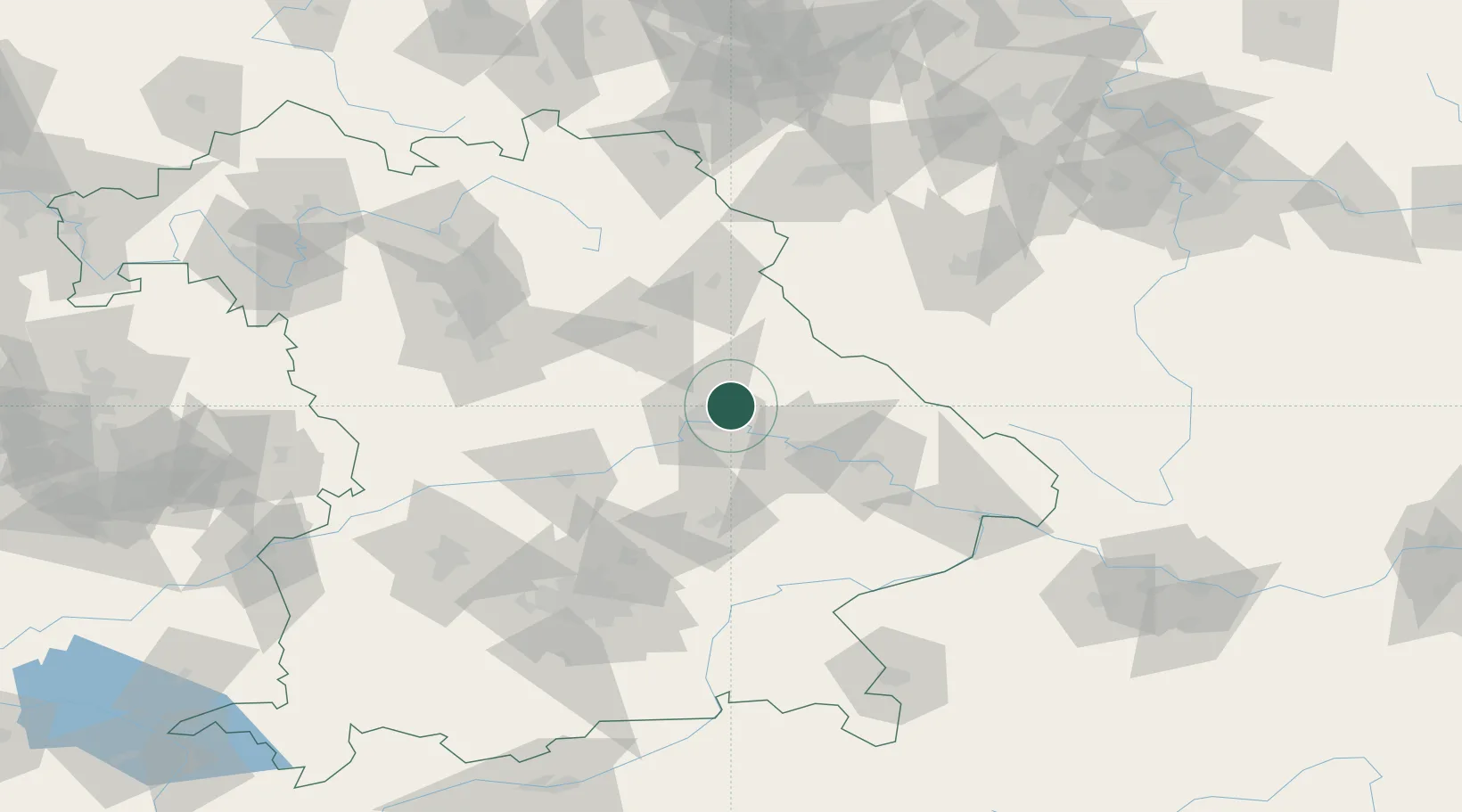
GeoNames
Region
Bavaria
GeoNames
Population
5,596
GeoNames
Time zone
Europe/Berlin
GeoNames
Elevation
453 m
GeoNames

Location

Location of DEBYY
Natural Earth 10m (public domain) · Bavaria · DEBYY · 49.10, 12.25GoogleOSMYandex

Nearby Logistics Neighbours

Cities
  1. 1Tegernheim11 km
  2. 2Barbing12 km
  3. 3Regensburg13 km
  4. 4Rendsburg14 km
  5. 5Maxhütte-Haidhof16 km
Nearest neighbours — logibook spatial index (haversine) over the source coordinates
Ports
  1. 1Nogaro378 km
  2. 2Monfalcone382 km
  3. 3Grado387 km
  4. 4Trieste400 km
  5. 5Muggia406 km
Nearest neighbours — logibook spatial index (haversine) over the source coordinates
Airports
  1. 1Hohenfels Army Airfield33 km
  2. 2Landshut Airfield67 km
  3. 3Ingolstadt Manching Airport68 km
  4. 4Grafenwöhr Army Air Field70 km
  5. 5Neuburg Air Base87 km
Nearest neighbours — logibook spatial index (haversine) over the source coordinates
Trade Zones
  1. 1Freeport of Deggendorf55 km
  2. 2Podbořany Industrial Zone150 km
  3. 3Žatec - Triangle Strategic Industrial Zone171 km
  4. 4Most - Joseph Industrial Zone184 km
  5. 5Světlá nad Sázavou Municipal Industrial Zone238 km
Nearest neighbours — logibook spatial index (haversine) over the source coordinates
DatabookThe Record of Consolidated Knowledge
Germany beyond logistics?
Browse databook

All Sources

LocationsUN/LOCODE
UN/LOCODE — free
LocationsGeoNames
CC BY 4.0
Portsthe NGA World Port Index
Public domain (US gov)
AirportsOurAirports
Public domain
Trade Zonesthe World Bank SEZ database
CC BY 4.0
Trade ZonesOpen Zone Map
CC BY
← Germany locations