Transport Functions
Multimodal
Hub Profile
Place type
Local administrative seat
Region
Bavaria
Population
3,699
Time zone
Europe/Berlin
Elevation
321 m
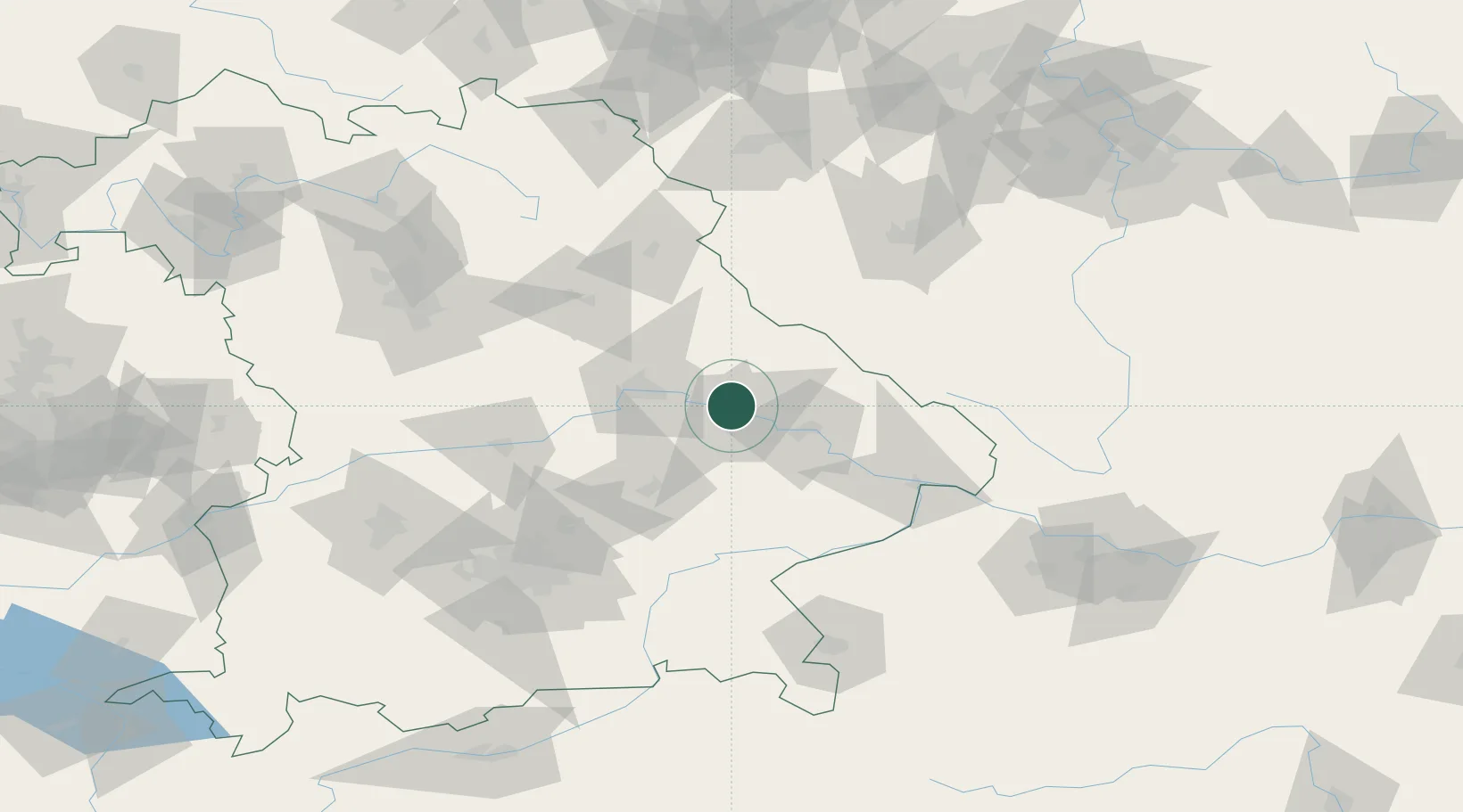
Location
Nearby Logistics Neighbours
Cities
- 1Steinach5 km
- 2Parkstetten5 km
- 3Wörth an der Donau12 km
- 4Salching15 km
- 5Sünching16 km
Ports
- 1Nogaro358 km
- 2Monfalcone360 km
- 3Grado366 km
- 4Trieste378 km
- 5Muggia384 km
Airports
- 1Hohenfels Army Airfield60 km
- 2Landshut Airfield62 km
- 3Ingolstadt Manching Airport79 km
- 4Munich Airport87 km
- 5Grafenwöhr Army Air Field94 km
Trade Zones
DatabookThe Record of Consolidated Knowledge
Germany beyond logistics?