Transport Functions
Multimodal
Hub Profile
Place type
Local administrative seat
Region
Bavaria
Population
4,439
Time zone
Europe/Berlin
Elevation
332 m
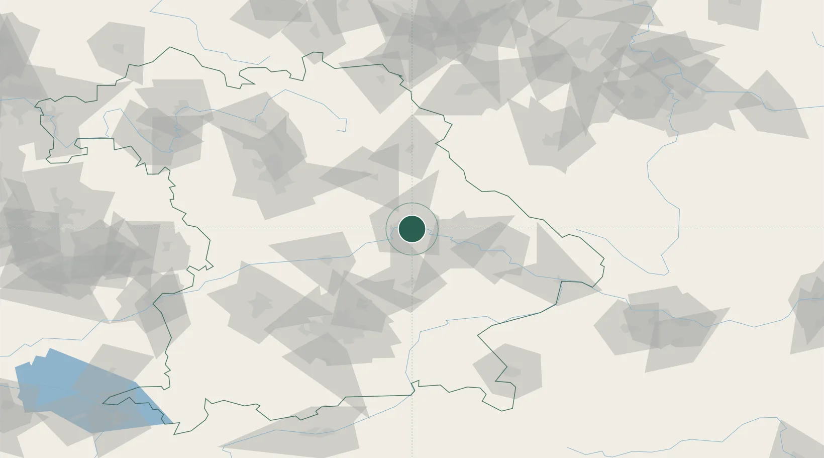
Location
Nearby Logistics Neighbours
Cities
- 1Barbing2 km
- 2Regensburg3 km
- 3Rendsburg4 km
- 4Pentling9 km
- 5Bernhardswald11 km
Ports
- 1Nogaro370 km
- 2Monfalcone374 km
- 3Grado379 km
- 4Trieste392 km
- 5Muggia398 km
Airports
- 1Hohenfels Army Airfield34 km
- 2Landshut Airfield57 km
- 3Ingolstadt Manching Airport58 km
- 4Grafenwöhr Army Air Field78 km
- 5Neuburg Air Base79 km
Trade Zones
DatabookThe Record of Consolidated Knowledge
Germany beyond logistics?