Transport Functions
Rail
Road
Multimodal
Hub Profile
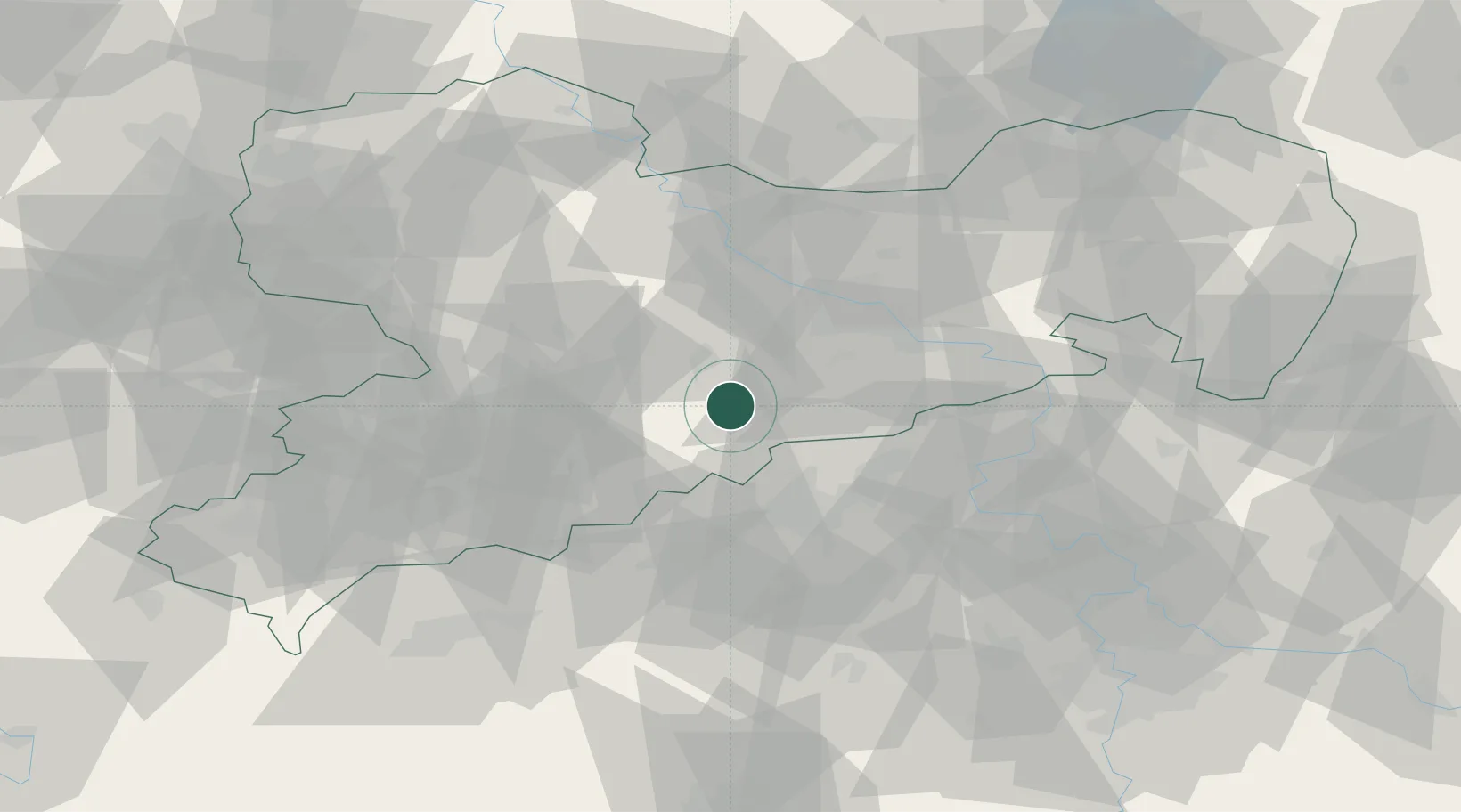
Place type
Populated place
Region
Saxony
Population
2,936
Time zone
Europe/Berlin
Elevation
425 m
Location
Nearby Logistics Neighbours
Cities
- 1Weissenborn/Erzgeb7 km
- 2Rechenberg-Bienenmühle11 km
- 3Eppendorf13 km
- 4Neuhausen15 km
- 5Oberschöna15 km
Ports
- 1Szczecin301 km
- 2Police318 km
- 3Swinoujscie351 km
- 4Wolgast362 km
- 5Wismar369 km
Airports
- 1Dresden Airport45 km
- 2Leipzig–Altenburg Airport67 km
- 3Karlovy Vary Airport75 km
- 4Vodochody Airport95 km
- 5Václav Havel Airport Prague98 km
Trade Zones
DatabookThe Record of Consolidated Knowledge
Germany beyond logistics?