Transport Functions
Port
Rail
Road
Hub Profile
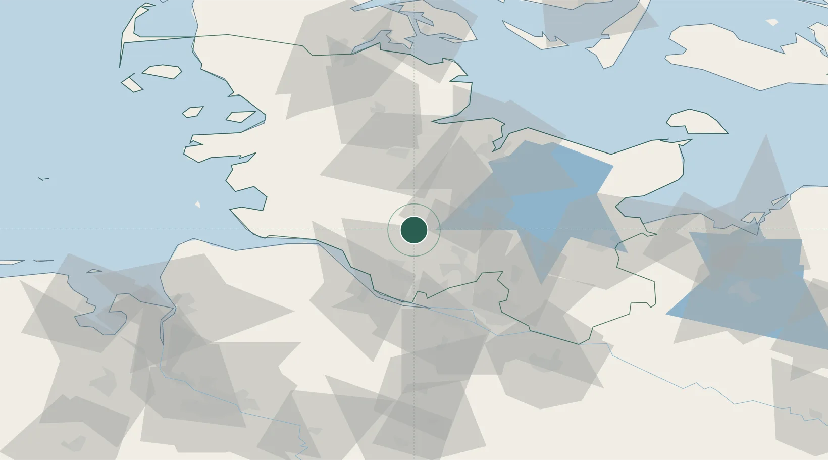
Place type
Local administrative seat
Region
Schleswig-Holstein
Population
2,507
Time zone
Europe/Berlin
Elevation
5 m
Location
Nearby Logistics Neighbours
Cities
- 1Westerhorn9 km
- 2Aukrug17 km
- 3Wasbek18 km
- 4Krempe (Holst)23 km
- 5Henstedt-Ulzburg23 km
Ports
- 1Itzehoe15 km
- 2Gluckstadt28 km
- 3Butzfleth35 km
- 4Brunsbuttel Elbahafen39 km
- 5Rendsburg41 km
Airports
- 1Uetersen-Heist Airfield32 km
- 2Hamburg Helmut Schmidt Airport37 km
- 3Hohn Air Base44 km
- 4Hamburg-Finkenwerder Airport45 km
- 5Kiel-Holtenau Airport56 km
Trade Zones
DatabookThe Record of Consolidated Knowledge
Germany beyond logistics?