Transport Functions
Rail
Road
Hub Profile
Region
SH
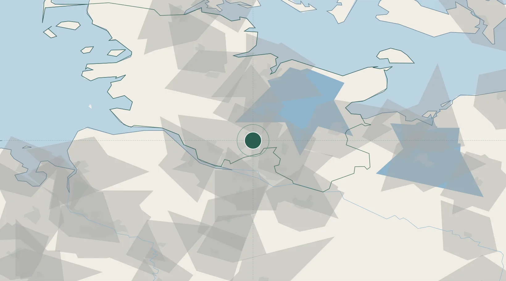
Location
Nearby Logistics Neighbours
Cities
- 1Schnelsen18 km
- 2Kummerfeld18 km
- 3Altengörs19 km
- 4Prisdorf20 km
- 5Tornesch21 km
Ports
- 1Hamburg26 km
- 2Itzehoe35 km
- 3Butzfleth35 km
- 4Gluckstadt38 km
- 5Lubeck47 km
Airports
- 1Hamburg Helmut Schmidt Airport17 km
- 2Uetersen-Heist Airfield25 km
- 3Hamburg-Finkenwerder Airport30 km
- 4Lübeck Blankensee Airport47 km
- 5Hohn Air Base66 km
Trade Zones
DatabookThe Record of Consolidated Knowledge
Germany beyond logistics?