UN/LOCODE hub · Germany
DEKPL

Krempe (Holst)

53.8167°, 9.4667°
1
Transport functions

Transport Functions

Multimodal
UN/LOCODE

Hub Profile

Region
SH
GeoNames

Location

Location of DEKPL
Natural Earth 10m (public domain) · SH · DEKPL · 53.82, 9.47GoogleOSMYandex

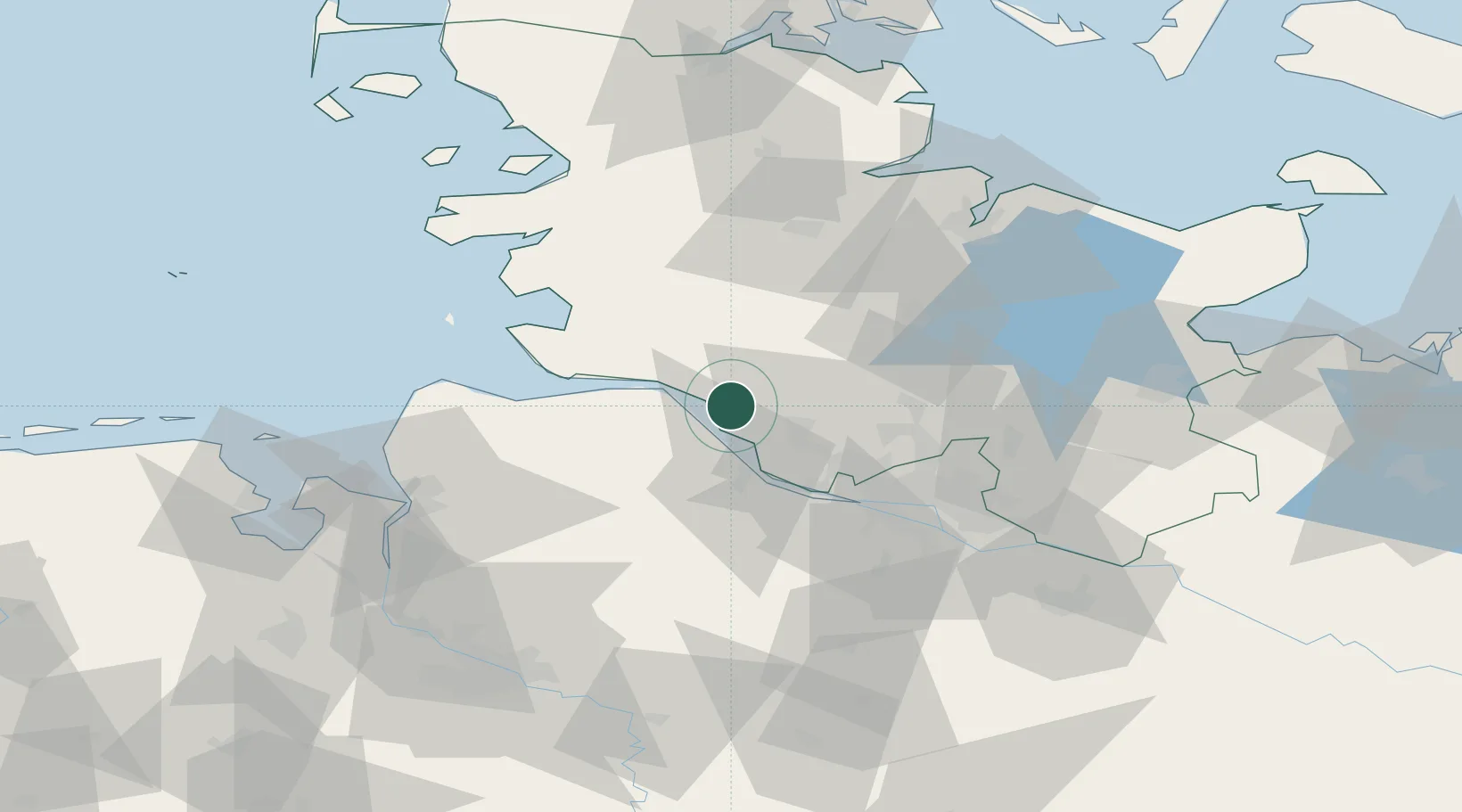
Nearby Logistics Neighbours

Cities
  1. 1Krautsand9 km
  2. 2Wischhafen11 km
  3. 3Neuland/Elbe12 km
  4. 4Ritsch13 km
  5. 5Drochtersen14 km
Nearest neighbours — logibook spatial index (haversine) over the source coordinates
Ports
  1. 1Gluckstadt5 km
  2. 2Itzehoe12 km
  3. 3Butzfleth19 km
  4. 4Brunsbuttel Elbahafen21 km
  5. 5Neuhaus29 km
Nearest neighbours — logibook spatial index (haversine) over the source coordinates
Airports
  1. 1Uetersen-Heist Airfield25 km
  2. 2Hamburg-Finkenwerder Airport40 km
  3. 3Hamburg Helmut Schmidt Airport40 km
  4. 4Heide-Büsum Airport53 km
  5. 5Sea-Airport Cuxhaven/Nordholz / Nordholz Naval Airbase53 km
Nearest neighbours — logibook spatial index (haversine) over the source coordinates
Trade Zones
  1. 1Freeport of Cuxhaven (Freihafen Cuxhaven)59 km
  2. 2Freeport of Kiel74 km
  3. 3Freeport of Bremerhaven (Freihafen Bremerhaven)93 km
  4. 4Freeport of Emden160 km
  5. 5Freeport of Copenhagen- Nordhavn292 km
Nearest neighbours — logibook spatial index (haversine) over the source coordinates
DatabookThe Record of Consolidated Knowledge
Germany beyond logistics?
Browse databook

All Sources

LocationsUN/LOCODE
UN/LOCODE — free
Portsthe NGA World Port Index
Public domain (US gov)
AirportsOurAirports
Public domain
Trade Zonesthe World Bank SEZ database
CC BY 4.0
Trade ZonesOpen Zone Map
CC BY
← Germany locations