Transport Functions
Multimodal
Hub Profile
Place type
Local administrative seat
Region
Schleswig-Holstein
Population
3,846
Time zone
Europe/Berlin
Elevation
14 m
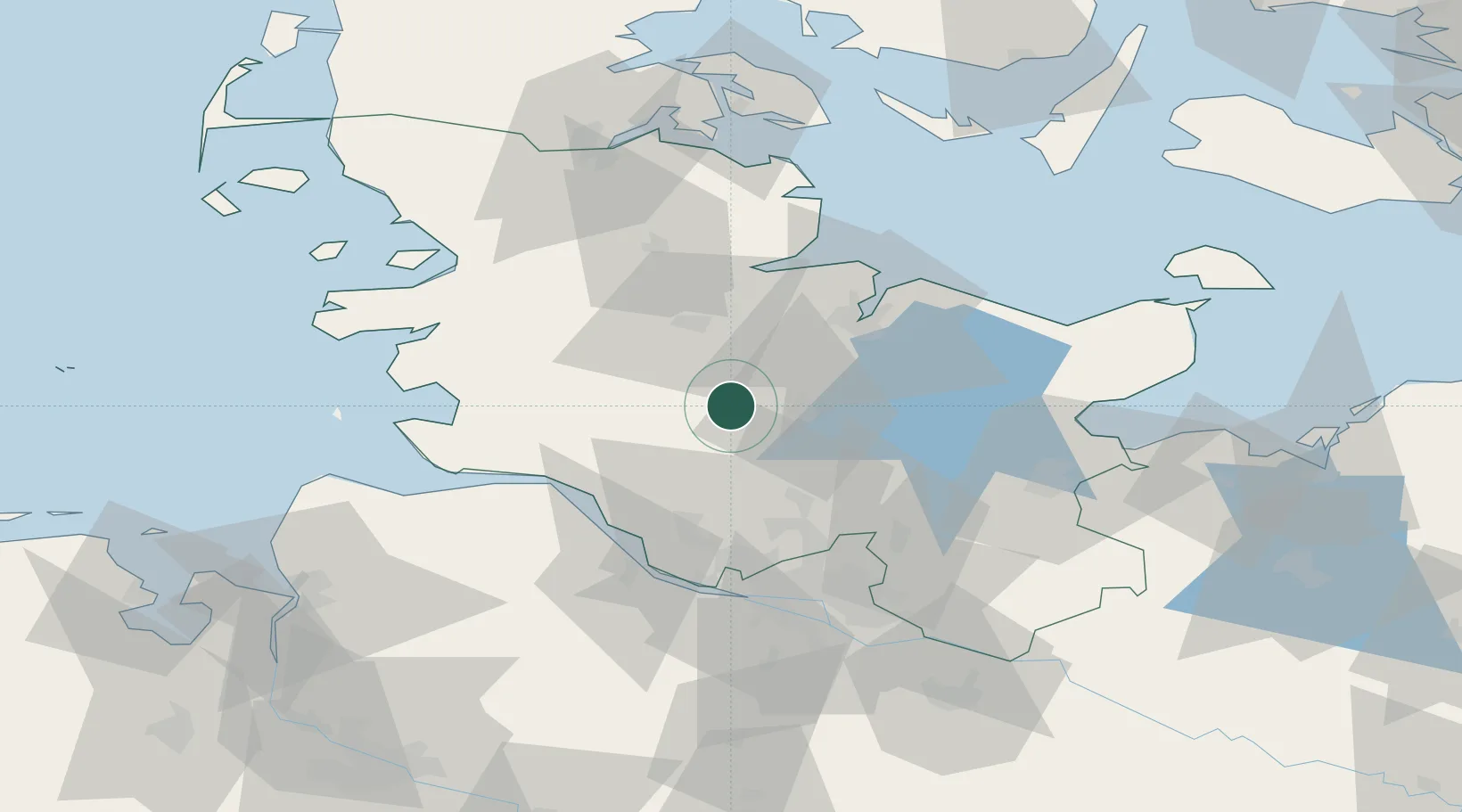
Location
Nearby Logistics Neighbours
Cities
- 1Wasbek8 km
- 2Nortorf11 km
- 3Loop13 km
- 4Wrist17 km
- 5Osterrönfeld23 km
Ports
- 1Rendsburg25 km
- 2Itzehoe25 km
- 3Kiel35 km
- 4Gluckstadt41 km
- 5Eckernforde45 km
Airports
- 1Hohn Air Base30 km
- 2Kiel-Holtenau Airport41 km
- 3Schleswig Air Base45 km
- 4Uetersen-Heist Airfield49 km
- 5Hamburg Helmut Schmidt Airport52 km
Trade Zones
DatabookThe Record of Consolidated Knowledge
Germany beyond logistics?