Transport Functions
Rail
Road
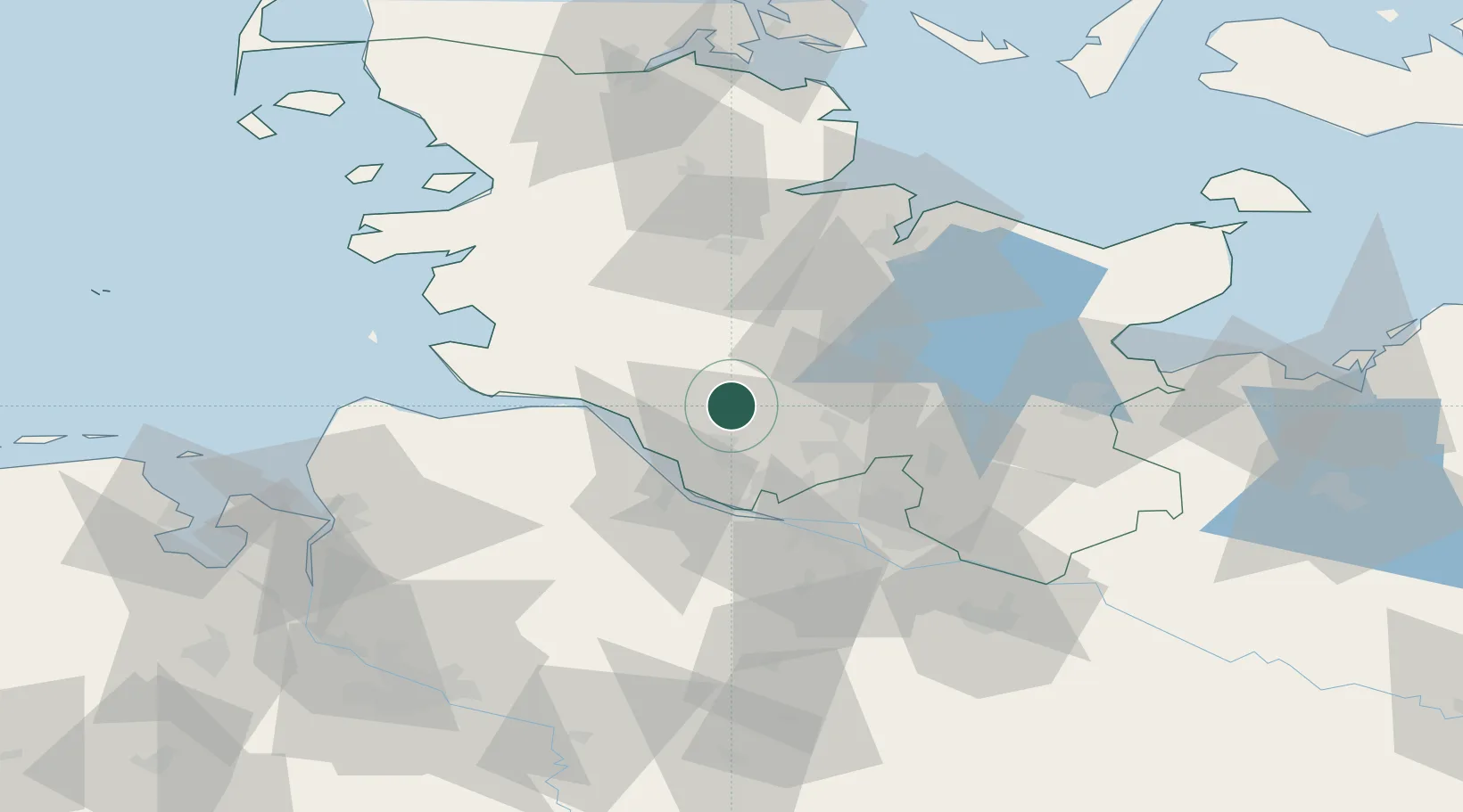
Hub Profile
Place type
Local administrative seat
Region
Schleswig-Holstein
Population
1,293
Time zone
Europe/Berlin
Elevation
5 m
Location
Nearby Logistics Neighbours
Cities
- 1Wrist9 km
- 2Krempe (Holst)15 km
- 3Tornesch19 km
- 4Prisdorf21 km
- 5Kummerfeld21 km
Ports
- 1Itzehoe12 km
- 2Gluckstadt20 km
- 3Butzfleth27 km
- 4Brunsbuttel Elbahafen34 km
- 5Hamburg39 km
Airports
- 1Uetersen-Heist Airfield25 km
- 2Hamburg Helmut Schmidt Airport33 km
- 3Hamburg-Finkenwerder Airport38 km
- 4Hohn Air Base50 km
- 5Heide-Büsum Airport60 km
Trade Zones
DatabookThe Record of Consolidated Knowledge
Germany beyond logistics?