Transport Functions
Multimodal
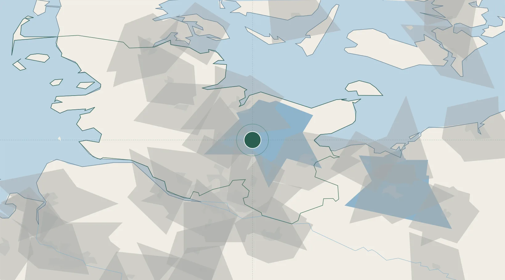
Hub Profile
Place type
Local administrative seat
Region
Schleswig-Holstein
Population
5,113
Time zone
Europe/Berlin
Elevation
50 m
Location
Nearby Logistics Neighbours
Cities
- 1Daldorf4 km
- 2Wankendorf8 km
- 3Ascheberg (Holstein)11 km
- 4Nehmten11 km
- 5Wittenborn13 km
Ports
- 1Kiel31 km
- 2Lubeck35 km
- 3Neustadt37 km
- 4Lubeck-Travemunde42 km
- 5Rendsburg46 km
Airports
- 1Kiel-Holtenau Airport37 km
- 2Lübeck Blankensee Airport41 km
- 3Hamburg Helmut Schmidt Airport50 km
- 4Hohn Air Base55 km
- 5Uetersen-Heist Airfield58 km
Trade Zones
DatabookThe Record of Consolidated Knowledge
Germany beyond logistics?