Transport Functions
Road
Multimodal
Hub Profile
Place type
Populated place
Region
Saxony-Anhalt
Population
1,005
Time zone
Europe/Berlin
Elevation
88 m
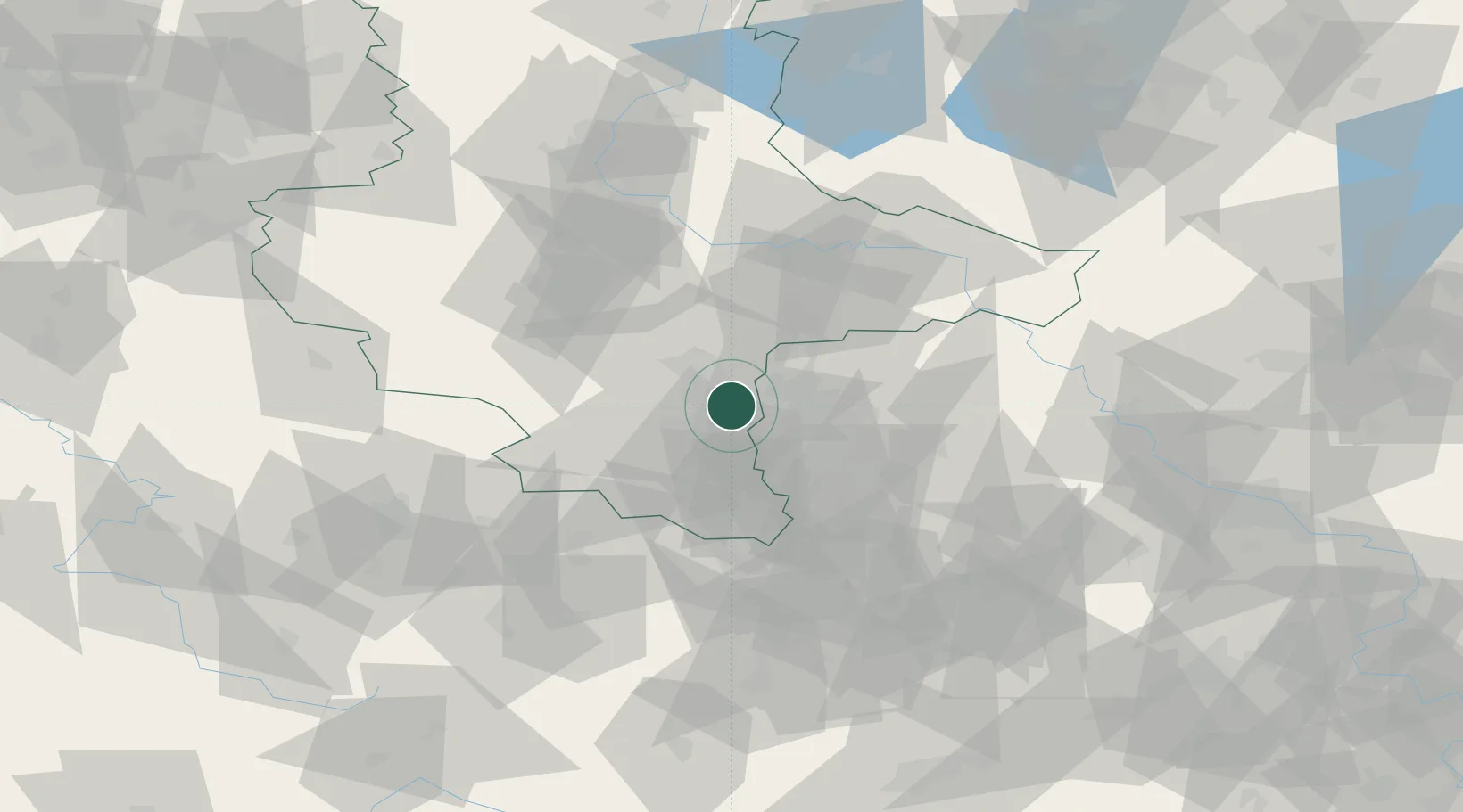
Location
Nearby Logistics Neighbours
Cities
- 1Zöschen3 km
- 2Günthersdorf6 km
- 3Spergau8 km
- 4Nempitz9 km
- 5Schkopau9 km
Airports
- 1Leipzig/Halle Airport12 km
- 2Leipzig–Altenburg Airport52 km
- 3Zerbst Airfield71 km
- 4Holzdorf Air Base87 km
- 5Erfurt-Weimar Airport89 km
Trade Zones
DatabookThe Record of Consolidated Knowledge
Germany beyond logistics?