Transport Functions
Rail
Road
Hub Profile
Place type
Local administrative seat
Region
Saxony-Anhalt
Population
3,060
Time zone
Europe/Berlin
Elevation
101 m
Logistics facilities
1
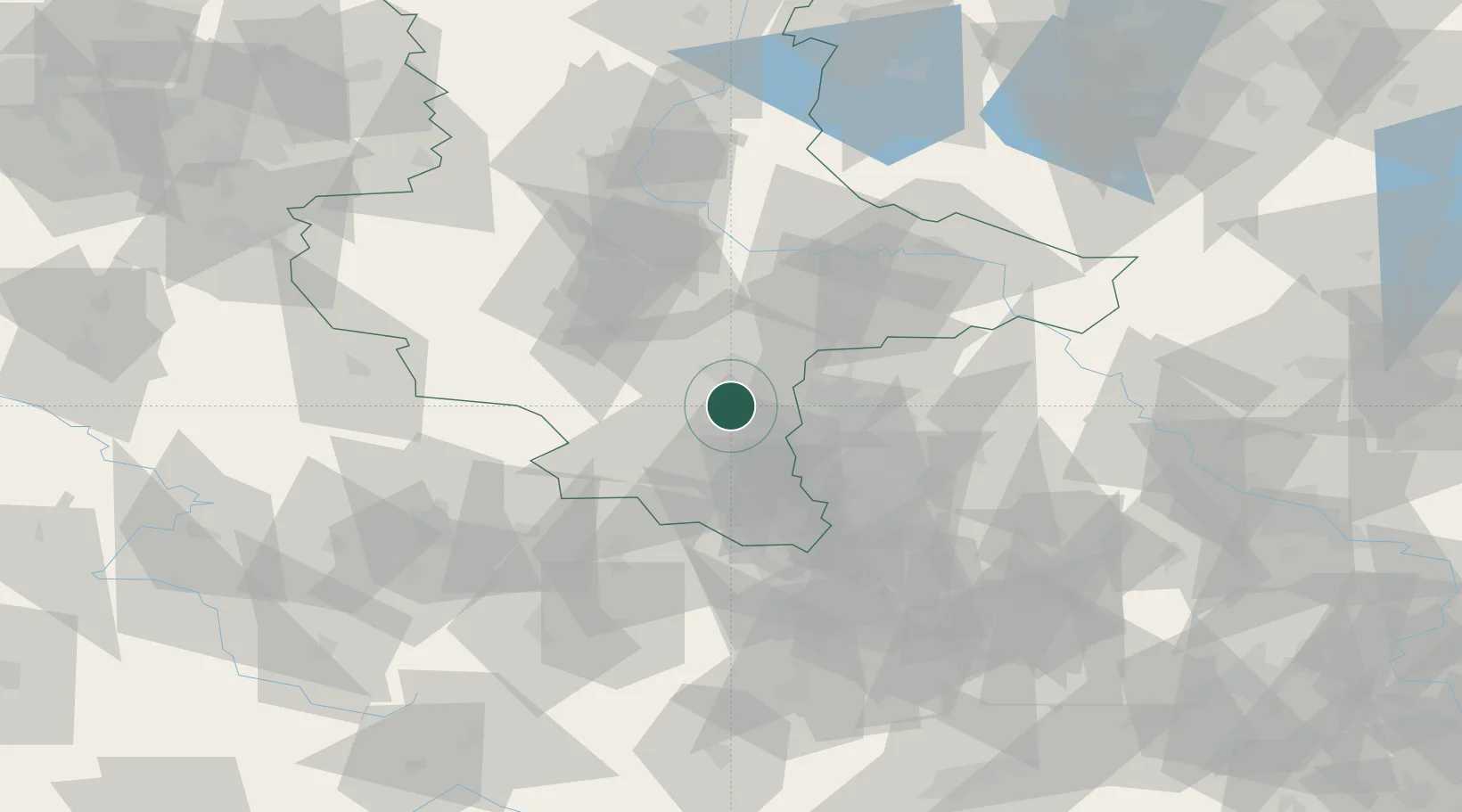
Location
Nearby Logistics Neighbours
Cities
- 1Frankleben8 km
- 2Wallendorf9 km
- 3Spergau11 km
- 4Dölbau12 km
- 5Zöschen12 km
Ports
- 1Hamburg277 km
- 2Wismar281 km
- 3Lubeck290 km
- 4Bremen292 km
- 5Lubeck-Travemunde296 km
Airports
- 1Leipzig/Halle Airport19 km
- 2Leipzig–Altenburg Airport59 km
- 3Zerbst Airfield69 km
- 4Erfurt-Weimar Airport83 km
- 5Holzdorf Air Base94 km
Trade Zones
DatabookThe Record of Consolidated Knowledge
Germany beyond logistics?