Transport Functions
Rail
Road
Hub Profile
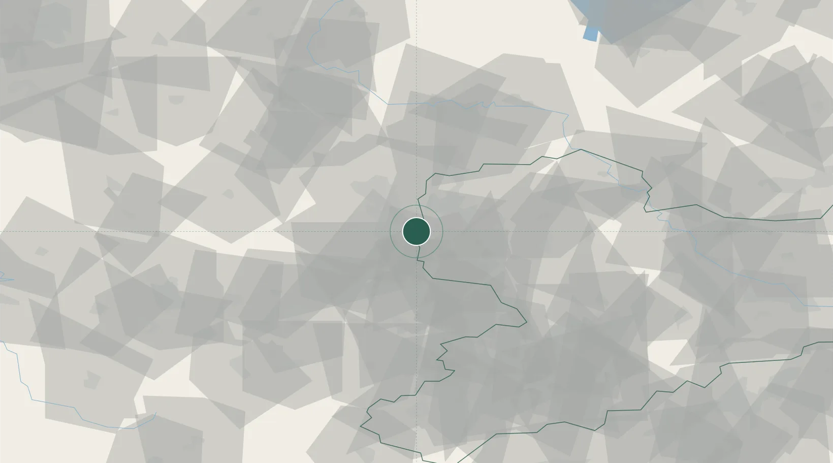
Place type
Populated place
Region
Saxony-Anhalt
Population
328
Time zone
Europe/Berlin
Elevation
113 m
Location
Nearby Logistics Neighbours
Cities
- 1Grosslehna2 km
- 2Kulkwitz5 km
- 3Günthersdorf6 km
- 4Zöschen6 km
- 5Bad Dürrenberg7 km
Airports
- 1Leipzig/Halle Airport15 km
- 2Leipzig–Altenburg Airport43 km
- 3Zerbst Airfield78 km
- 4Holzdorf Air Base88 km
- 5Erfurt-Weimar Airport90 km
Trade Zones
DatabookThe Record of Consolidated Knowledge
Germany beyond logistics?