Transport Functions
Rail
Road
Hub Profile
Region
ST
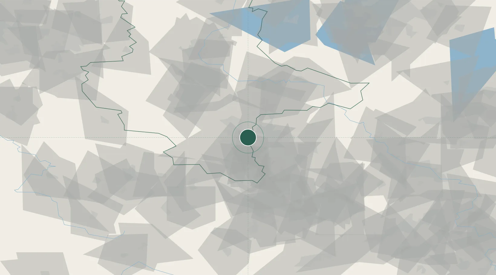
Location
Nearby Logistics Neighbours
Cities
- 1Wallendorf3 km
- 2Günthersdorf4 km
- 3Nempitz6 km
- 4Dölzig7 km
- 5Grosslehna8 km
Airports
- 1Leipzig/Halle Airport11 km
- 2Leipzig–Altenburg Airport49 km
- 3Zerbst Airfield72 km
- 4Holzdorf Air Base86 km
- 5Erfurt-Weimar Airport91 km
Trade Zones
DatabookThe Record of Consolidated Knowledge
Germany beyond logistics?