Transport Functions
Multimodal
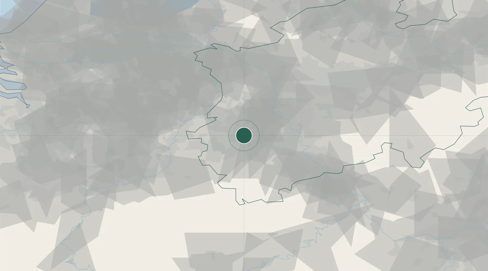
Hub Profile
Place type
Local administrative seat
Region
North Rhine-Westphalia
Population
8,461
Time zone
Europe/Berlin
Elevation
102 m
Location
Nearby Logistics Neighbours
Cities
- 1Bedburg11 km
- 2Jüchen13 km
- 3Elsdorf13 km
- 4Gudderath13 km
- 5Aldenhoven15 km
Airports
- 1Nörvenich Air Base25 km
- 2Mönchengladbach Airport26 km
- 3Geilenkirchen Air Base27 km
- 4Düsseldorf Airport40 km
- 5Maastricht Aachen Airport46 km
Trade Zones
- 1Rheinische Revier SWZ10 km
- 2Freeport of Duisburg51 km
- 3Luxembourg Free Port152 km
- 4ZFU Ronde Couture184 km
- 5ZFU Woippy-Metz207 km
DatabookThe Record of Consolidated Knowledge
Germany beyond logistics?