Transport Functions
Port
Multimodal
Hub Profile
Region
NW
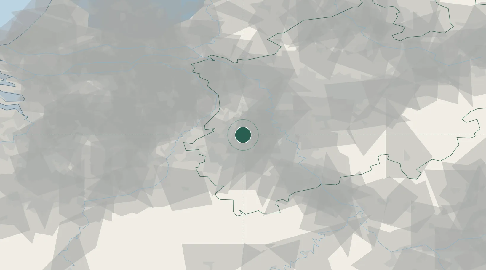
Location
Nearby Logistics Neighbours
Cities
- 1Wickrath2 km
- 2Jüchen5 km
- 3Mönchengladbach9 km
- 4Titz13 km
- 5Dülken16 km
Airports
- 1Mönchengladbach Airport14 km
- 2Düsseldorf Airport30 km
- 3Geilenkirchen Air Base32 km
- 4Nörvenich Air Base35 km
- 5Maastricht Aachen Airport52 km
Trade Zones
- 1Rheinische Revier SWZ23 km
- 2Freeport of Duisburg38 km
- 3Luxembourg Free Port165 km
- 4ZFU Ronde Couture195 km
- 5ZFU Woippy-Metz220 km
DatabookThe Record of Consolidated Knowledge
Germany beyond logistics?