Transport Functions
Multimodal
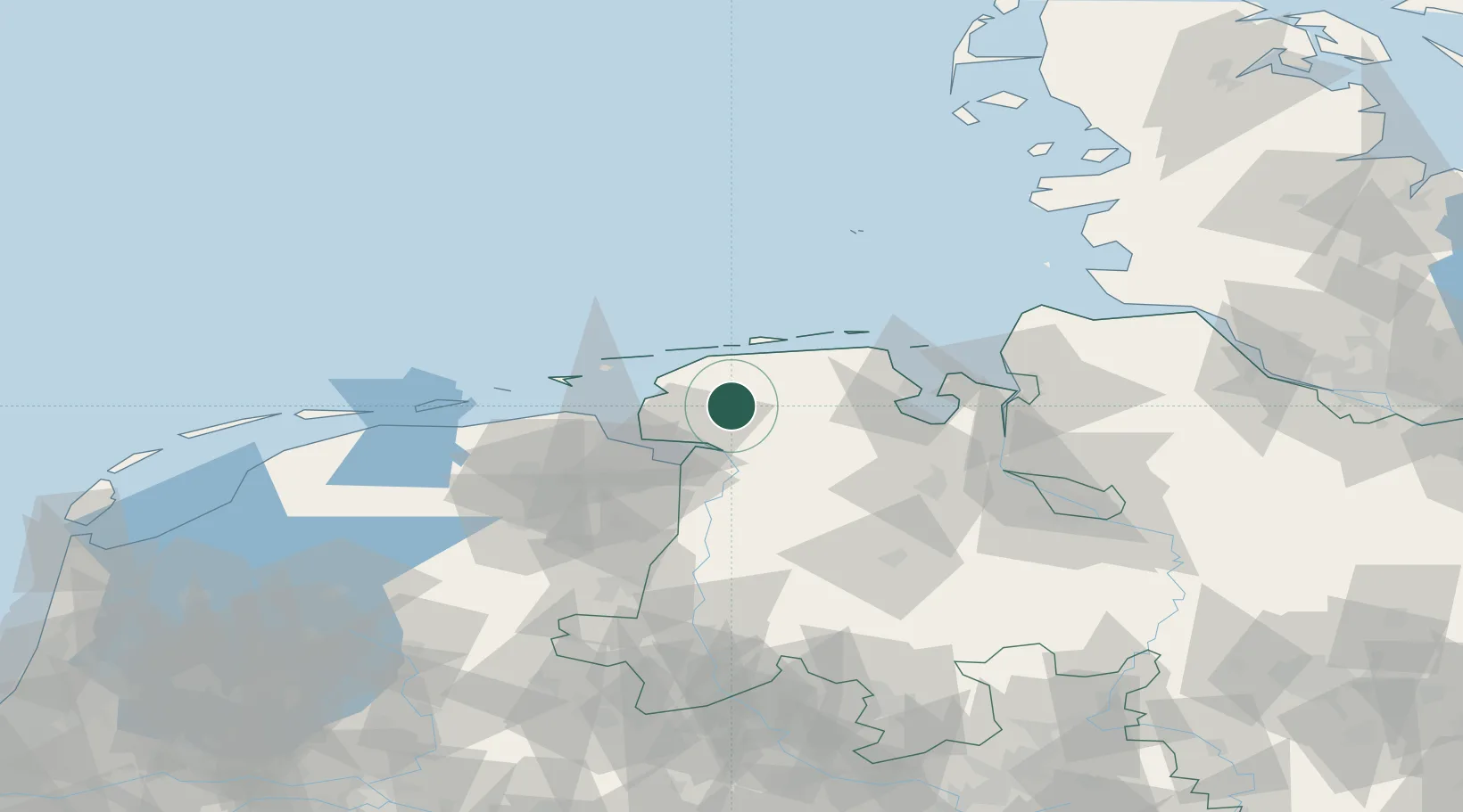
Hub Profile
Region
NI
Location
Nearby Logistics Neighbours
Airports
- 1Emden Airport15 km
- 2Wittmundhafen Air Base19 km
- 3Norden-Norddeich Airport22 km
- 4Baltrum Airport27 km
- 5Norderney Airport27 km
Trade Zones
DatabookThe Record of Consolidated Knowledge
Germany beyond logistics?