Transport Functions
Port
Rail
Road
Hub Profile
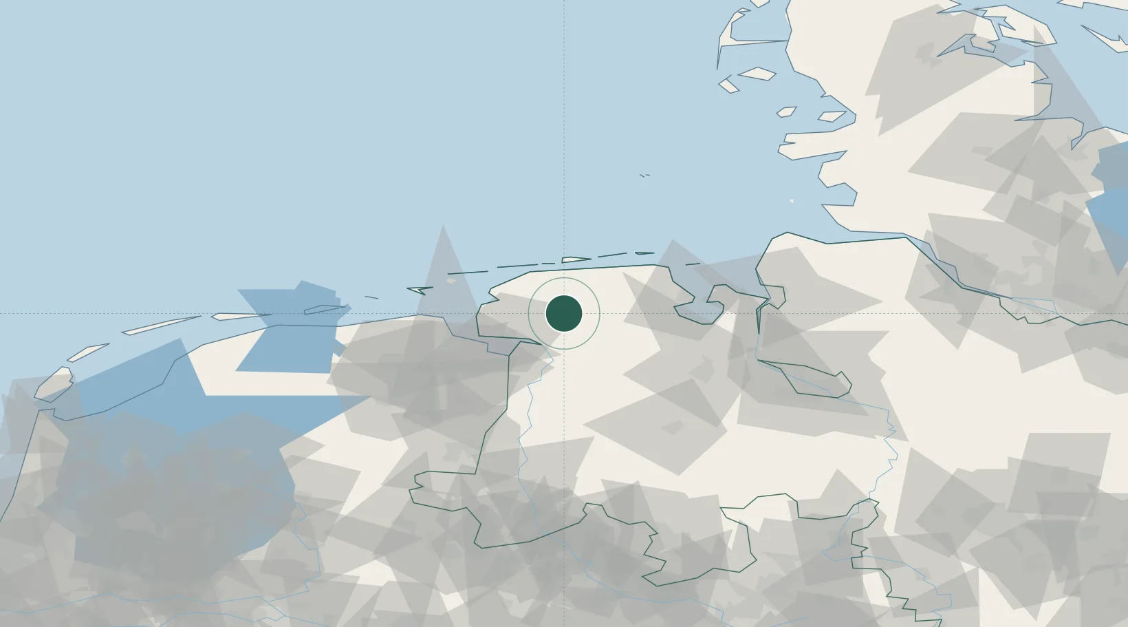
Place type
District seat
Region
Lower Saxony
Population
40,319
Time zone
Europe/Berlin
Elevation
10 m
Location
Nearby Logistics Neighbours
Cities
- 1Südbrookmerland6 km
- 2Wiesens7 km
- 3Marcardsmoor16 km
- 4Upschört17 km
- 5Oldersum18 km
Airports
- 1Wittmundhafen Air Base15 km
- 2Emden Airport19 km
- 3Norden-Norddeich Airport27 km
- 4Baltrum Airport30 km
- 5Norderney Airport32 km
Trade Zones
DatabookThe Record of Consolidated Knowledge
Germany beyond logistics?