Transport Functions
Road
Multimodal
Hub Profile
Place type
Local administrative seat
Region
Bavaria
Population
3,449
Time zone
Europe/Berlin
Elevation
579 m
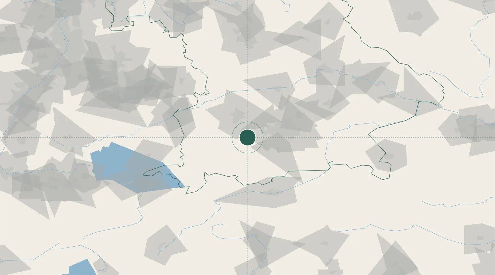
Location
Nearby Logistics Neighbours
Cities
- 1Greifenberg4 km
- 2Finning6 km
- 3Türkenfeld7 km
- 4Hofstetten (Landsberg)7 km
- 5Inning am Ammersee9 km
Ports
- 1Nogaro304 km
- 2Porto Di Lido-Venezia313 km
- 3Grado315 km
- 4Monfalcone318 km
- 5Porto Di Chioggia330 km
Airports
- 1Lechfeld Air Base18 km
- 2Oberpfaffenhofen Airport19 km
- 3Altstetten Ultralight Field33 km
- 4Augsburg Airport41 km
- 5Memmingen Allgau Airport60 km
Trade Zones
- 1Freeport of Deggendorf163 km
- 2Livigno Free Trade Zone185 km
- 3ZFU Neuhof248 km
- 4ZFU Hautepierre254 km
- 5ZFU Mulhouse278 km
DatabookThe Record of Consolidated Knowledge
Germany beyond logistics?