Transport Functions
Road
Multimodal
Hub Profile
Place type
Populated place
Region
Bavaria
Time zone
Europe/Berlin
Elevation
616 m
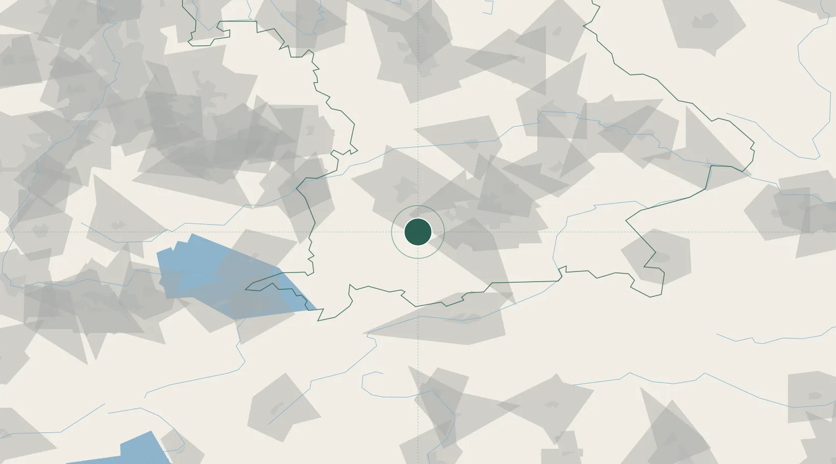
Location
Nearby Logistics Neighbours
Cities
- 1Hofstetten (Landsberg)3 km
- 2Windach6 km
- 3Pürgen7 km
- 4Greifenberg8 km
- 5Vilgertshofen10 km
Ports
- 1Nogaro300 km
- 2Porto Di Lido-Venezia309 km
- 3Grado312 km
- 4Monfalcone315 km
- 5Porto Di Chioggia325 km
Airports
- 1Lechfeld Air Base21 km
- 2Oberpfaffenhofen Airport22 km
- 3Altstetten Ultralight Field39 km
- 4Augsburg Airport46 km
- 5Memmingen Allgau Airport57 km
Trade Zones
- 1Freeport of Deggendorf168 km
- 2Livigno Free Trade Zone179 km
- 3ZFU Neuhof247 km
- 4ZFU Hautepierre253 km
- 5ZFU Mulhouse275 km
DatabookThe Record of Consolidated Knowledge
Germany beyond logistics?