UN/LOCODE hub · Germany
DEZIE
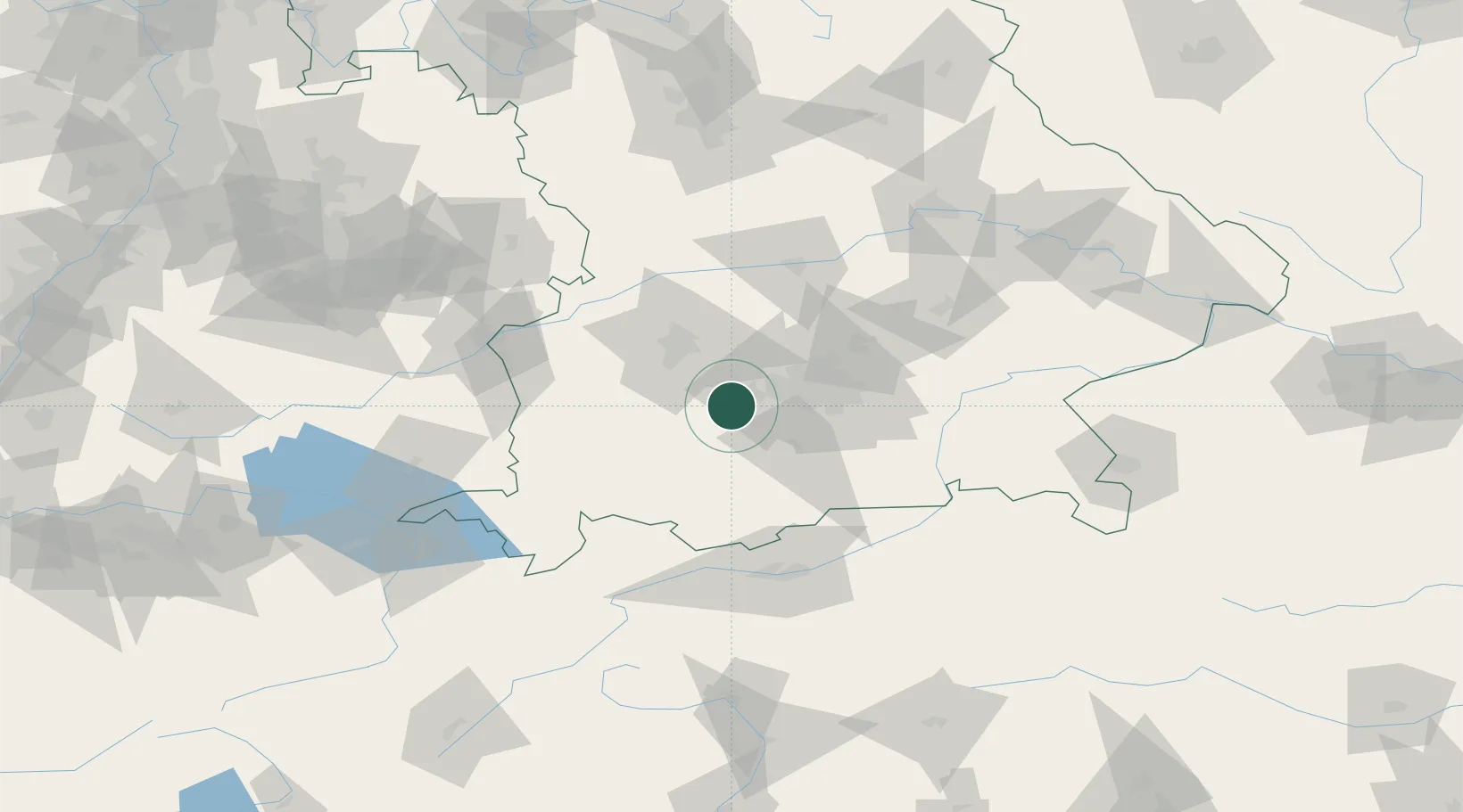
Inning am Ammersee
48.0833°, 11.1500°
4,111
Population
1
Transport functions
Transport Functions
Multimodal
Hub Profile
Place type
Populated place
Region
Bavaria
Population
4,111
Time zone
Europe/Berlin
Elevation
553 m
Location
Nearby Logistics Neighbours
Cities
- 1Wörthsee4 km
- 2Grafrath4 km
- 3Greifenberg5 km
- 4Türkenfeld6 km
- 5Schöngeising7 km
Ports
- 1Nogaro300 km
- 2Grado312 km
- 3Porto Di Lido-Venezia312 km
- 4Monfalcone314 km
- 5Porto Di Chioggia329 km
Airports
- 1Oberpfaffenhofen Airport10 km
- 2Lechfeld Air Base24 km
- 3Altstetten Ultralight Field27 km
- 4Augsburg Airport41 km
- 5Munich Airport56 km
Trade Zones
- 1Freeport of Deggendorf155 km
- 2Livigno Free Trade Zone190 km
- 3ZFU Neuhof256 km
- 4ZFU Hautepierre262 km
- 5ZFU Mulhouse287 km
DatabookThe Record of Consolidated Knowledge
Germany beyond logistics?