Transport Functions
Rail
Road
Hub Profile
Place type
Local administrative seat
Region
Bavaria
Population
2,024
Time zone
Europe/Berlin
Elevation
583 m
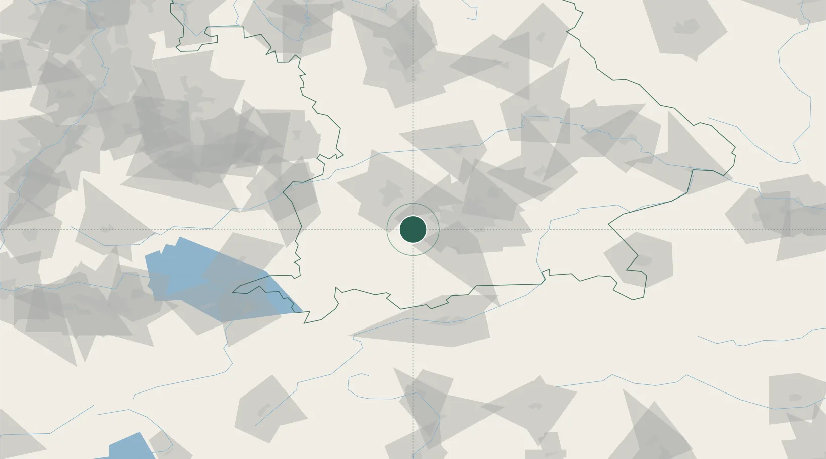
Location
Nearby Logistics Neighbours
Cities
- 1Windach4 km
- 2Inning am Ammersee5 km
- 3Türkenfeld6 km
- 4Grafrath8 km
- 5Finning8 km
Ports
- 1Nogaro302 km
- 2Porto Di Lido-Venezia312 km
- 3Grado313 km
- 4Monfalcone316 km
- 5Porto Di Chioggia328 km
Airports
- 1Oberpfaffenhofen Airport15 km
- 2Lechfeld Air Base21 km
- 3Altstetten Ultralight Field31 km
- 4Augsburg Airport41 km
- 5Munich Airport61 km
Trade Zones
- 1Freeport of Deggendorf160 km
- 2Livigno Free Trade Zone186 km
- 3ZFU Neuhof251 km
- 4ZFU Hautepierre257 km
- 5ZFU Mulhouse282 km
DatabookThe Record of Consolidated Knowledge
Germany beyond logistics?