Transport Functions
Multimodal
Hub Profile
Place type
Populated place
Region
Bavaria
Time zone
Europe/Berlin
Elevation
437 m
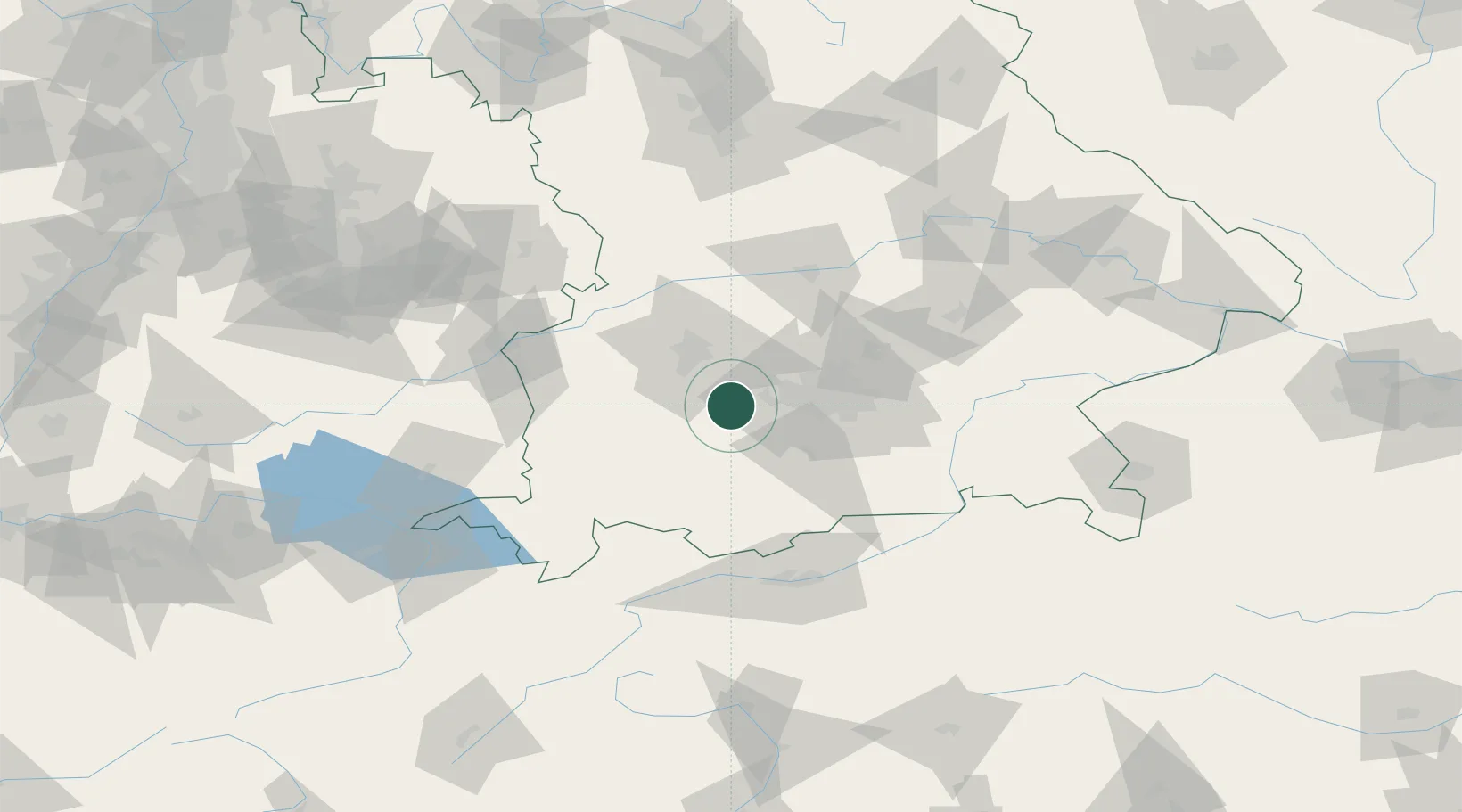
Location
Nearby Logistics Neighbours
Cities
- 1Greifenberg6 km
- 2Inning am Ammersee6 km
- 3Grafrath6 km
- 4Windach7 km
- 5Schöngeising9 km
Ports
- 1Nogaro306 km
- 2Grado317 km
- 3Porto Di Lido-Venezia317 km
- 4Monfalcone320 km
- 5Porto Di Chioggia334 km
Airports
- 1Oberpfaffenhofen Airport15 km
- 2Lechfeld Air Base18 km
- 3Altstetten Ultralight Field26 km
- 4Augsburg Airport36 km
- 5Munich Airport58 km
Trade Zones
- 1Freeport of Deggendorf157 km
- 2Livigno Free Trade Zone191 km
- 3ZFU Neuhof250 km
- 4ZFU Hautepierre256 km
- 5ZFU Mulhouse282 km
DatabookThe Record of Consolidated Knowledge
Germany beyond logistics?