Transport Functions
Road
Multimodal
Hub Profile
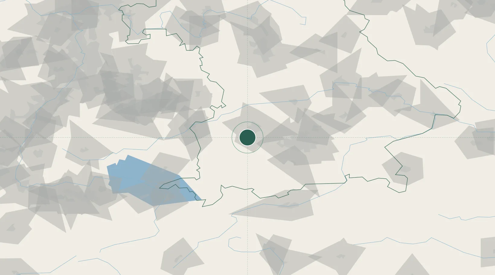
Place type
Local administrative seat
Region
Bavaria
Population
2,877
Time zone
Europe/Berlin
Elevation
522 m
Location
Nearby Logistics Neighbours
Cities
- 1Grossaitingen2 km
- 2Graben6 km
- 3Diedorf11 km
- 4Fischach12 km
- 5Langenneufnach15 km
Ports
- 1Nogaro330 km
- 2Porto Di Lido-Venezia339 km
- 3Grado341 km
- 4Monfalcone345 km
- 5Porto Di Chioggia354 km
Airports
- 1Lechfeld Air Base9 km
- 2Augsburg Airport22 km
- 3Altstetten Ultralight Field37 km
- 4Oberpfaffenhofen Airport40 km
- 5Memmingen Allgau Airport51 km
Trade Zones
- 1Freeport of Deggendorf169 km
- 2Livigno Free Trade Zone198 km
- 3ZFU Neuhof227 km
- 4ZFU Hautepierre233 km
- 5ZFU Mulhouse264 km
DatabookThe Record of Consolidated Knowledge
Germany beyond logistics?