Transport Functions
Road
Multimodal
Hub Profile
Place type
Local administrative seat
Region
Bavaria
Population
3,250
Time zone
Europe/Berlin
Elevation
552 m
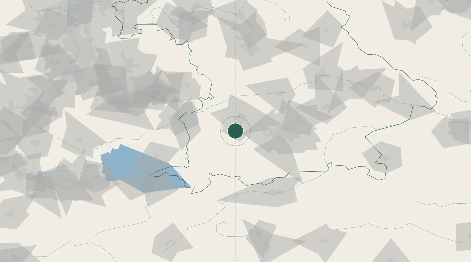
Location
Nearby Logistics Neighbours
Cities
- 1Grossaitingen5 km
- 2Wehringen6 km
- 3Igling15 km
- 4Fischach15 km
- 5Reichertshofen16 km
Ports
- 1Nogaro325 km
- 2Porto Di Lido-Venezia333 km
- 3Grado336 km
- 4Monfalcone339 km
- 5Porto Di Chioggia349 km
Airports
- 1Lechfeld Air Base4 km
- 2Augsburg Airport27 km
- 3Altstetten Ultralight Field37 km
- 4Oberpfaffenhofen Airport37 km
- 5Memmingen Allgau Airport49 km
Trade Zones
- 1Freeport of Deggendorf170 km
- 2Livigno Free Trade Zone193 km
- 3ZFU Neuhof229 km
- 4ZFU Hautepierre235 km
- 5ZFU Mulhouse264 km
DatabookThe Record of Consolidated Knowledge
Germany beyond logistics?