Transport Functions
Rail
Road
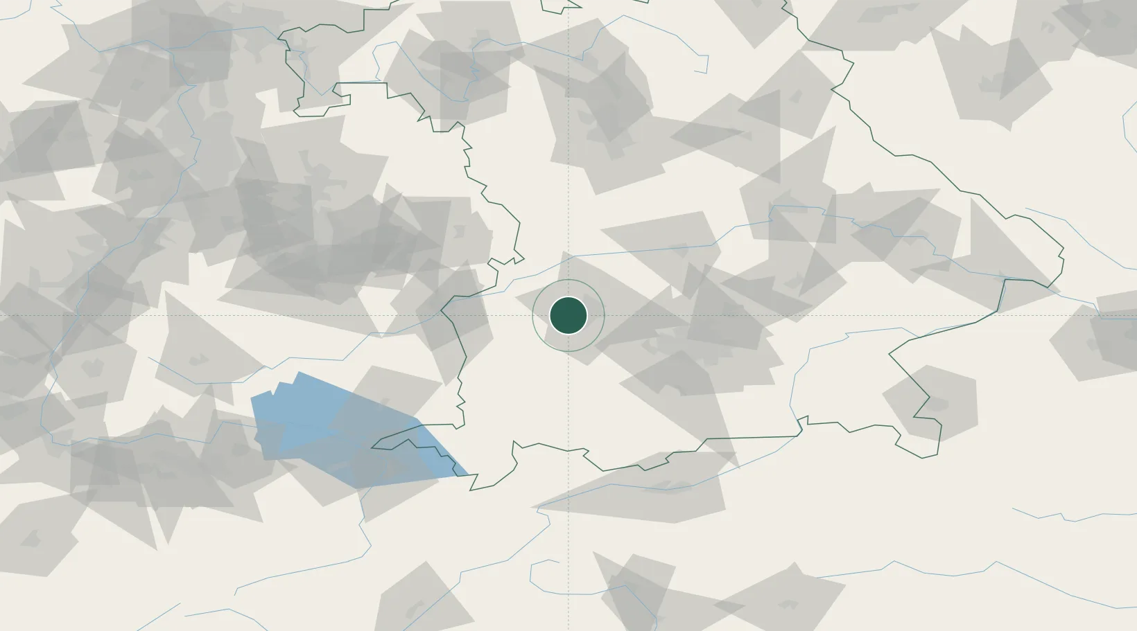
Hub Profile
Place type
Populated place
Region
Bavaria
Population
10,006
Time zone
Europe/Berlin
Elevation
494 m
Location
Nearby Logistics Neighbours
Ports
- 1Nogaro341 km
- 2Porto Di Lido-Venezia350 km
- 3Grado352 km
- 4Monfalcone355 km
- 5Porto Di Chioggia366 km
Airports
- 1Augsburg Airport15 km
- 2Lechfeld Air Base20 km
- 3Altstetten Ultralight Field39 km
- 4Oberpfaffenhofen Airport49 km
- 5Neuburg Air Base52 km
Trade Zones
- 1Freeport of Deggendorf167 km
- 2Livigno Free Trade Zone208 km
- 3ZFU Neuhof223 km
- 4ZFU Hautepierre228 km
- 5ZFU Mulhouse264 km
DatabookThe Record of Consolidated Knowledge
Germany beyond logistics?