Transport Functions
Multimodal
Hub Profile
Place type
Local administrative seat
Region
Bavaria
Population
4,747
Time zone
Europe/Berlin
Elevation
529 m
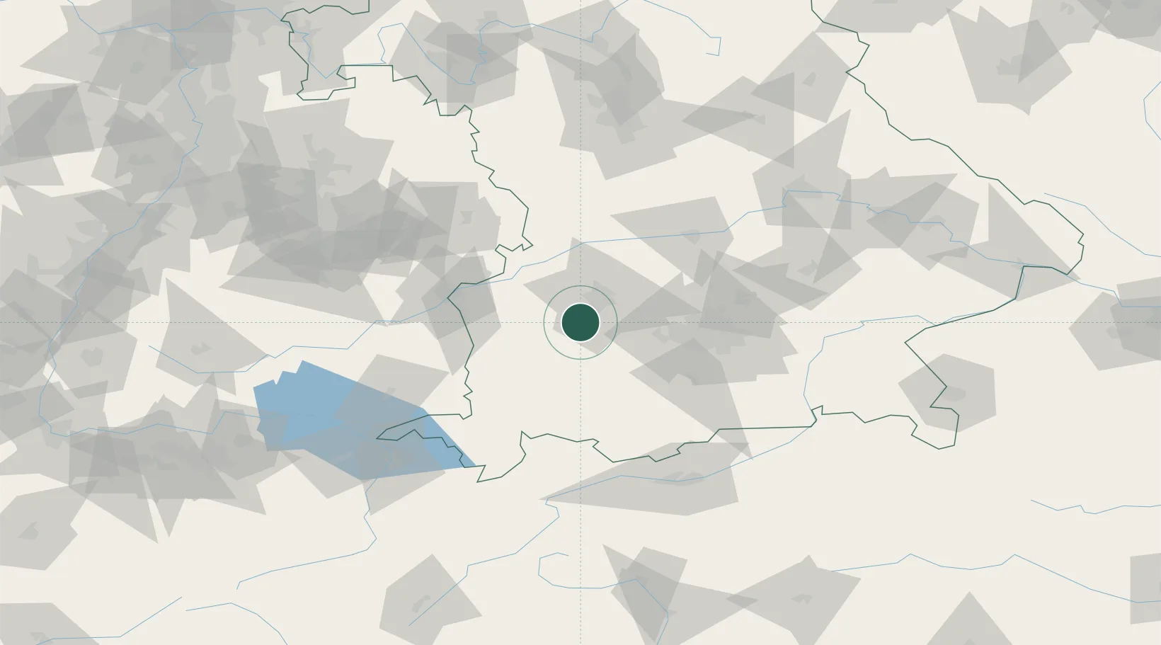
Location
Nearby Logistics Neighbours
Cities
- 1Wehringen2 km
- 2Graben5 km
- 3Fischach11 km
- 4Diedorf13 km
- 5Langenneufnach14 km
Ports
- 1Nogaro329 km
- 2Porto Di Lido-Venezia337 km
- 3Grado341 km
- 4Monfalcone344 km
- 5Porto Di Chioggia353 km
Airports
- 1Lechfeld Air Base8 km
- 2Augsburg Airport24 km
- 3Altstetten Ultralight Field38 km
- 4Oberpfaffenhofen Airport41 km
- 5Memmingen Allgau Airport49 km
Trade Zones
- 1Freeport of Deggendorf170 km
- 2Livigno Free Trade Zone196 km
- 3ZFU Neuhof226 km
- 4ZFU Hautepierre232 km
- 5ZFU Mulhouse262 km
DatabookThe Record of Consolidated Knowledge
Germany beyond logistics?