Transport Functions
Multimodal
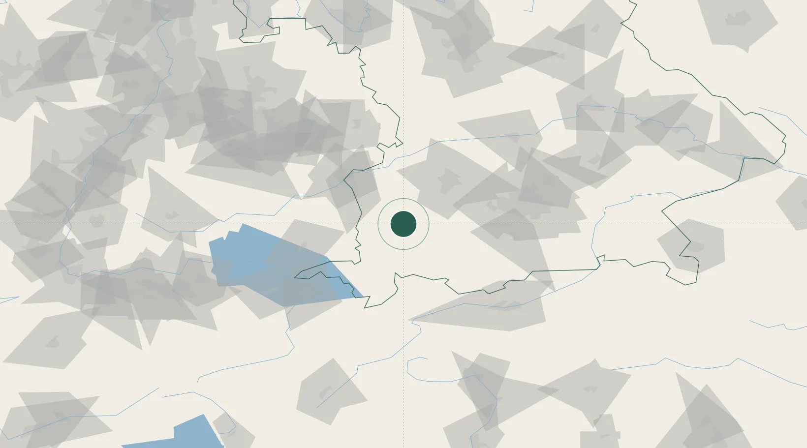
Hub Profile
Place type
Populated place
Region
Bavaria
Population
2,148
Time zone
Europe/Berlin
Elevation
626 m
Location
Nearby Logistics Neighbours
Cities
- 1Eggenthal9 km
- 2Rammingen10 km
- 3Engetried11 km
- 4Pforzen11 km
- 5Wiedergeltingen13 km
Ports
- 1Nogaro321 km
- 2Porto Di Lido-Venezia323 km
- 3Grado333 km
- 4Porto Di Chioggia337 km
- 5Monfalcone338 km
Airports
- 1Memmingen Allgau Airport20 km
- 2Lechfeld Air Base34 km
- 3Laupheim Air Base50 km
- 4Augsburg Airport57 km
- 5Oberpfaffenhofen Airport59 km
Trade Zones
- 1Livigno Free Trade Zone166 km
- 2Freeport of Deggendorf201 km
- 3ZFU Neuhof211 km
- 4ZFU Hautepierre218 km
- 5ZFU Mulhouse238 km
DatabookThe Record of Consolidated Knowledge
Germany beyond logistics?