Transport Functions
Multimodal
Hub Profile
Place type
Local administrative seat
Region
Bavaria
Population
2,130
Time zone
Europe/Berlin
Elevation
656 m
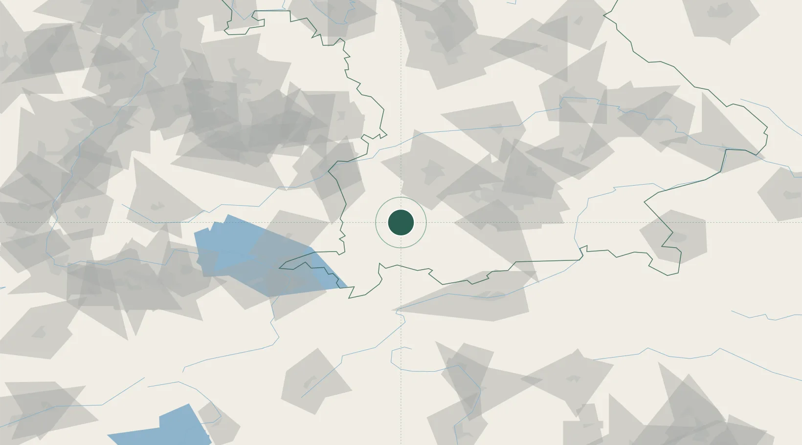
Location
Nearby Logistics Neighbours
Cities
- 1Kaufbeuren6 km
- 2Eggenthal9 km
- 3Dirlewang11 km
- 4Wiedergeltingen12 km
- 5Ruderatshofen13 km
Ports
- 1Nogaro310 km
- 2Porto Di Lido-Venezia312 km
- 3Grado322 km
- 4Porto Di Chioggia327 km
- 5Monfalcone327 km
Airports
- 1Memmingen Allgau Airport29 km
- 2Lechfeld Air Base33 km
- 3Oberpfaffenhofen Airport52 km
- 4Augsburg Airport60 km
- 5Laupheim Air Base61 km
Trade Zones
- 1Livigno Free Trade Zone161 km
- 2Freeport of Deggendorf197 km
- 3ZFU Neuhof222 km
- 4ZFU Hautepierre229 km
- 5ZFU Mulhouse246 km
DatabookThe Record of Consolidated Knowledge
Germany beyond logistics?