Transport Functions
Multimodal
Hub Profile
Place type
Local administrative seat
Region
Baden-Wurttemberg
Population
1,303
Time zone
Europe/Berlin
Elevation
509 m
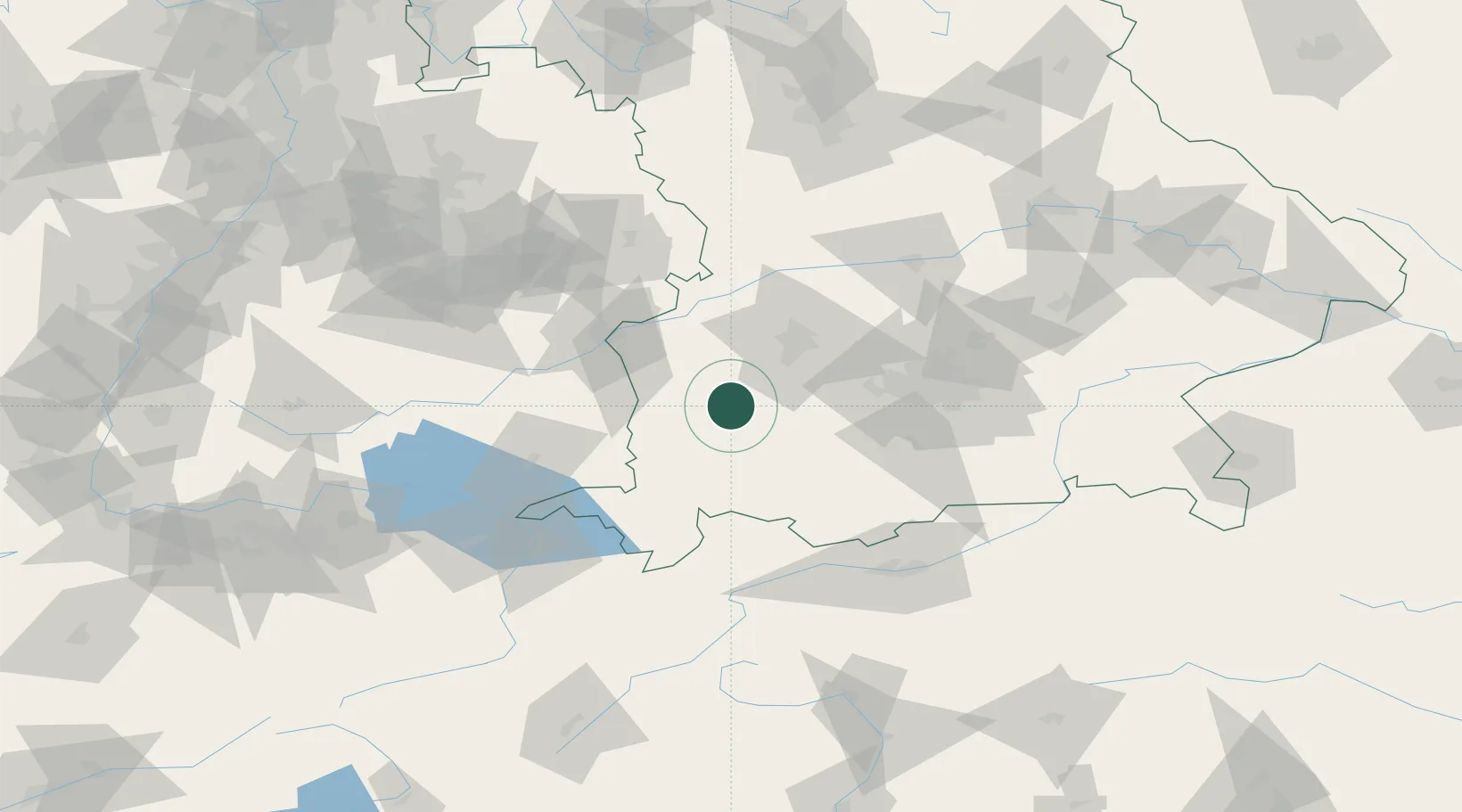
Location
Nearby Logistics Neighbours
Cities
- 1Wiedergeltingen7 km
- 2Dirlewang10 km
- 3Eppishausen12 km
- 4Reichertshofen15 km
- 5Pforzen15 km
Ports
- 1Nogaro323 km
- 2Porto Di Lido-Venezia327 km
- 3Grado335 km
- 4Monfalcone339 km
- 5Porto Di Chioggia341 km
Airports
- 1Lechfeld Air Base25 km
- 2Memmingen Allgau Airport27 km
- 3Augsburg Airport48 km
- 4Oberpfaffenhofen Airport52 km
- 5Laupheim Air Base53 km
Trade Zones
- 1Livigno Free Trade Zone175 km
- 2Freeport of Deggendorf192 km
- 3ZFU Neuhof215 km
- 4ZFU Hautepierre222 km
- 5ZFU Mulhouse245 km
DatabookThe Record of Consolidated Knowledge
Germany beyond logistics?