Transport Functions
Multimodal
Hub Profile
Region
BY
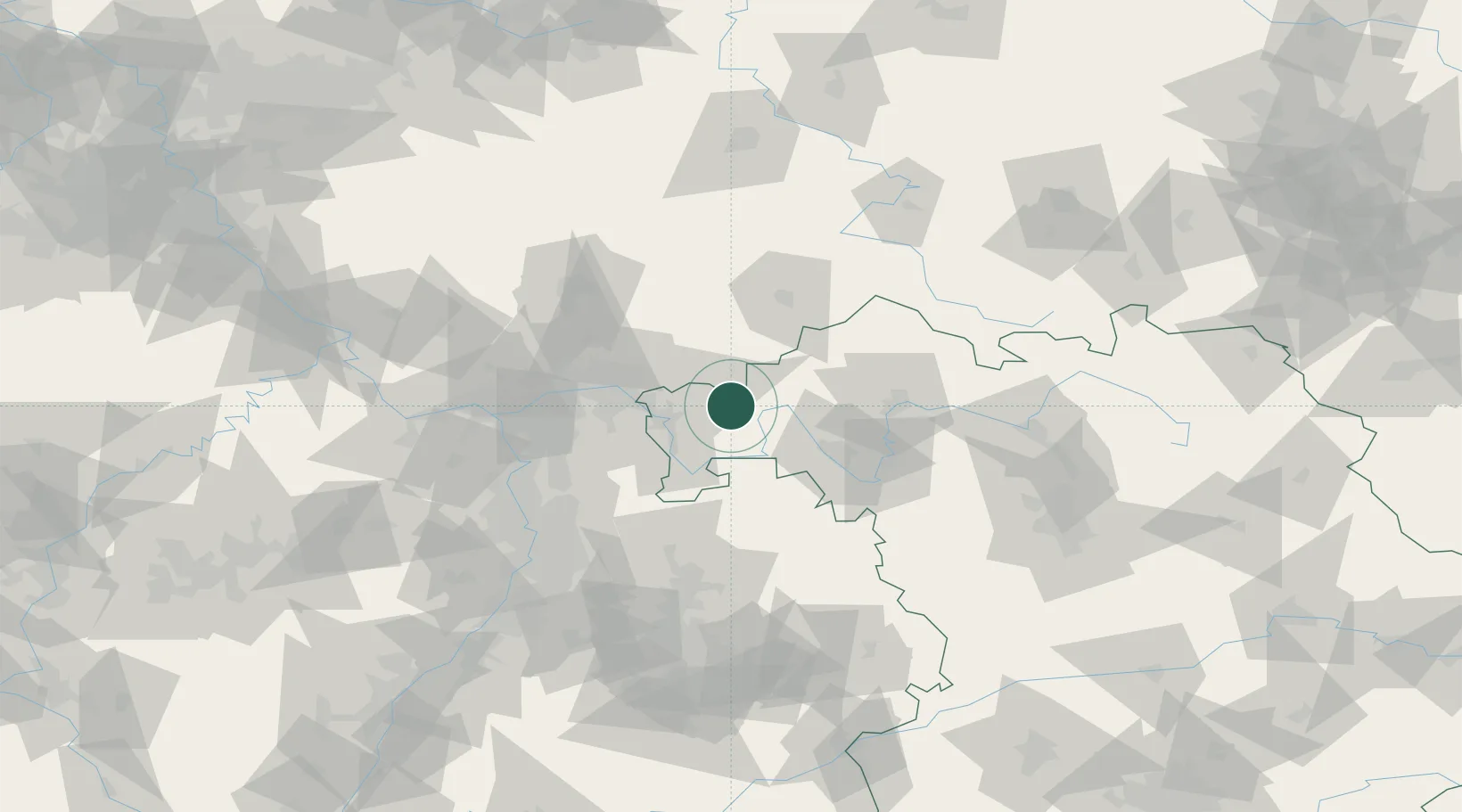
Location
Nearby Logistics Neighbours
Cities
- 1Heigenbruecken4 km
- 2Frammersbach4 km
- 3Lohr12 km
- 4Blankenbach15 km
- 5Rieneck15 km
Airports
- 1Frankfurt-Egelsbach Airport57 km
- 2Frankfurt Main Airport63 km
- 3Wiesbaden Army Airfield79 km
- 4Niederstetten Army Air Base81 km
- 5Mannheim-City Airport91 km
Trade Zones
- 1ZFU Hautepierre204 km
- 2ZFU La Cité Behren-lès-Forbach205 km
- 3ZFU Neuhof206 km
- 4Luxembourg Free Port234 km
- 5Rheinische Revier SWZ237 km
DatabookThe Record of Consolidated Knowledge
Germany beyond logistics?